July 6 – 11, 2025
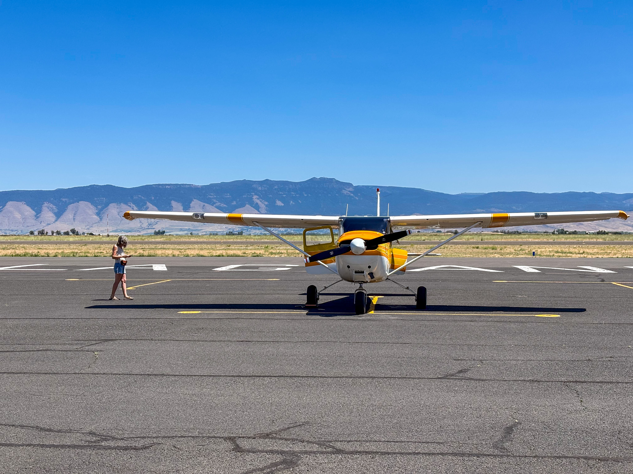
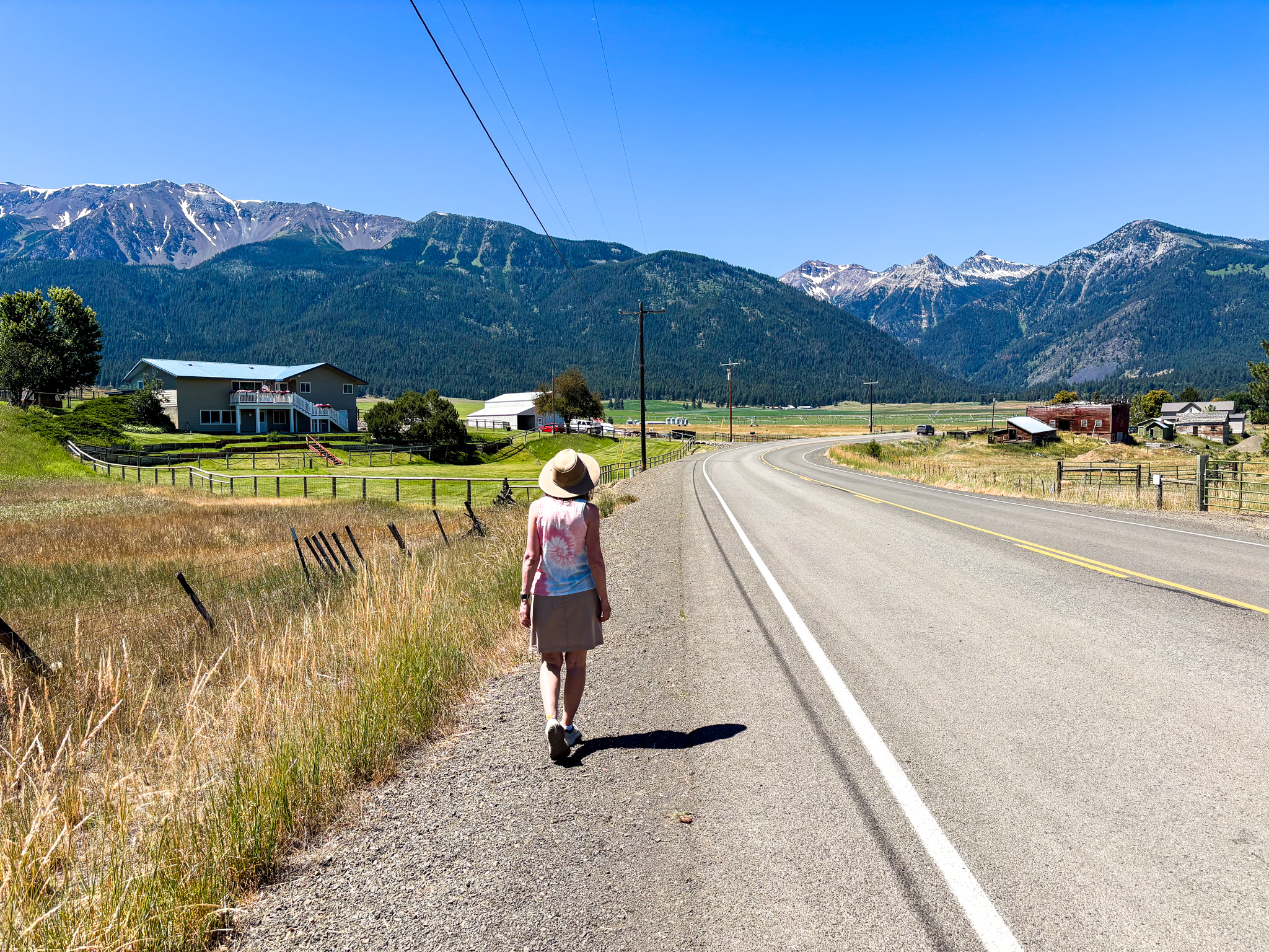
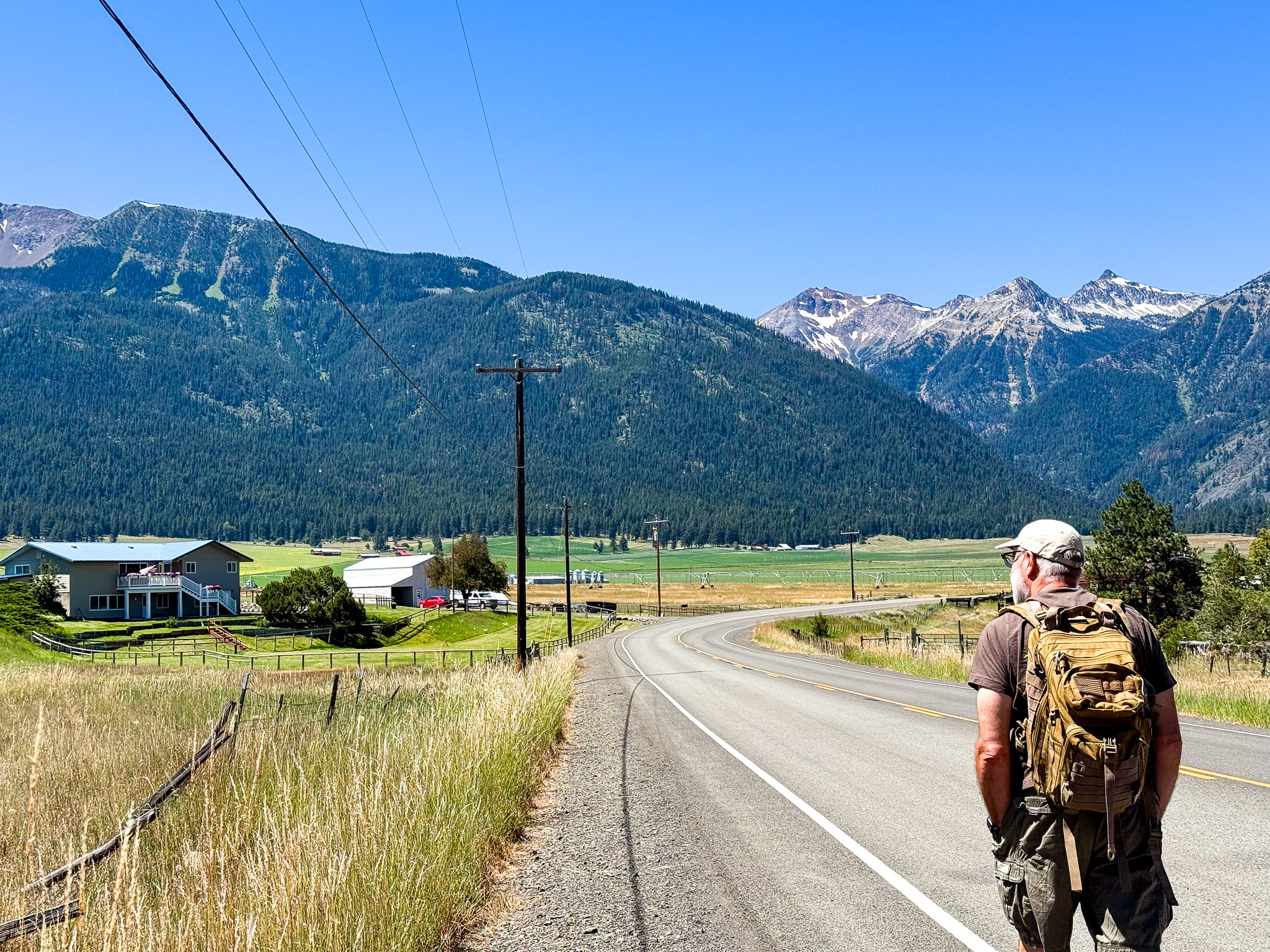
Marc has wanted to get me to both the town of Joseph and to Red’s Horse Ranch for a long time. He’s been flying into Red’s and camping there for many years. He easily convinced me to go this time by tempting me with a stay at Minam River Lodge (which is a short hike from Red’s).
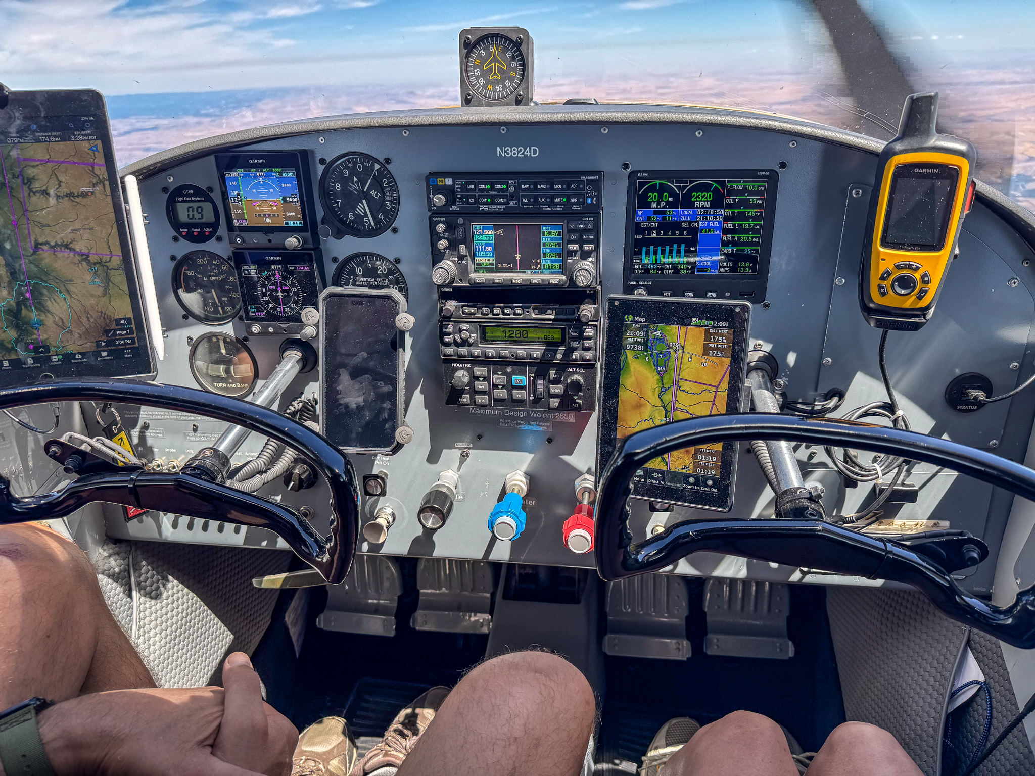
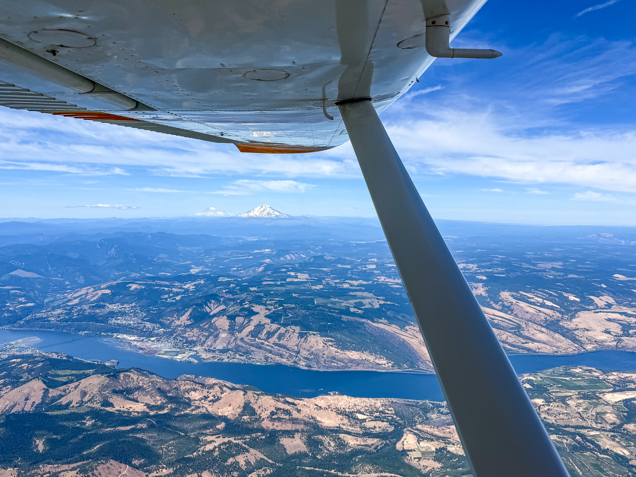
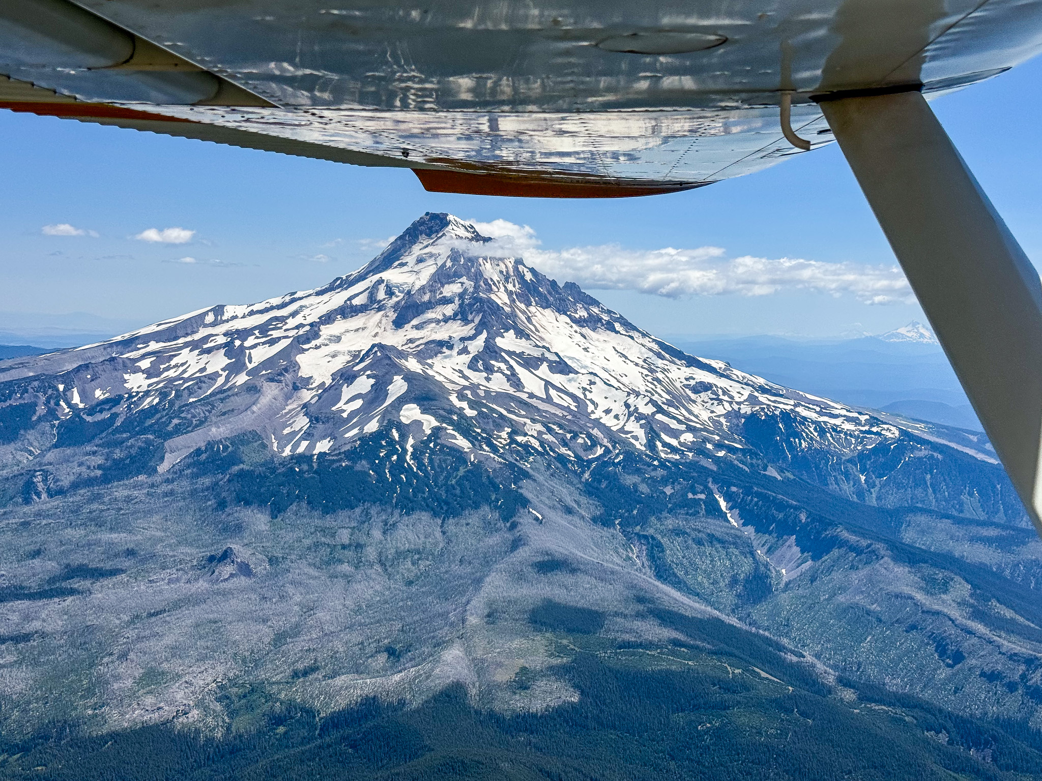
Passing by recently burned out Cottonwood State Park. We were camping there a week or two before the fire.
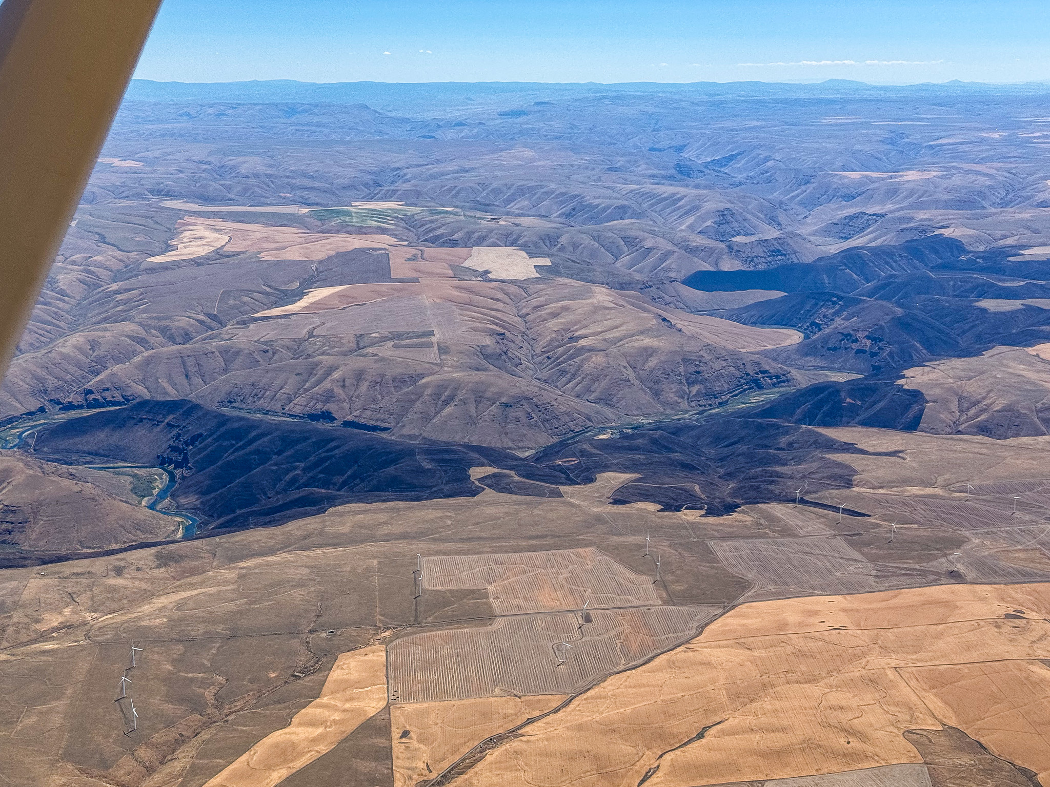
Passing by Red’s Horse Ranch and Minam River Lodge (where we stayed after two nights in the town of Joseph)
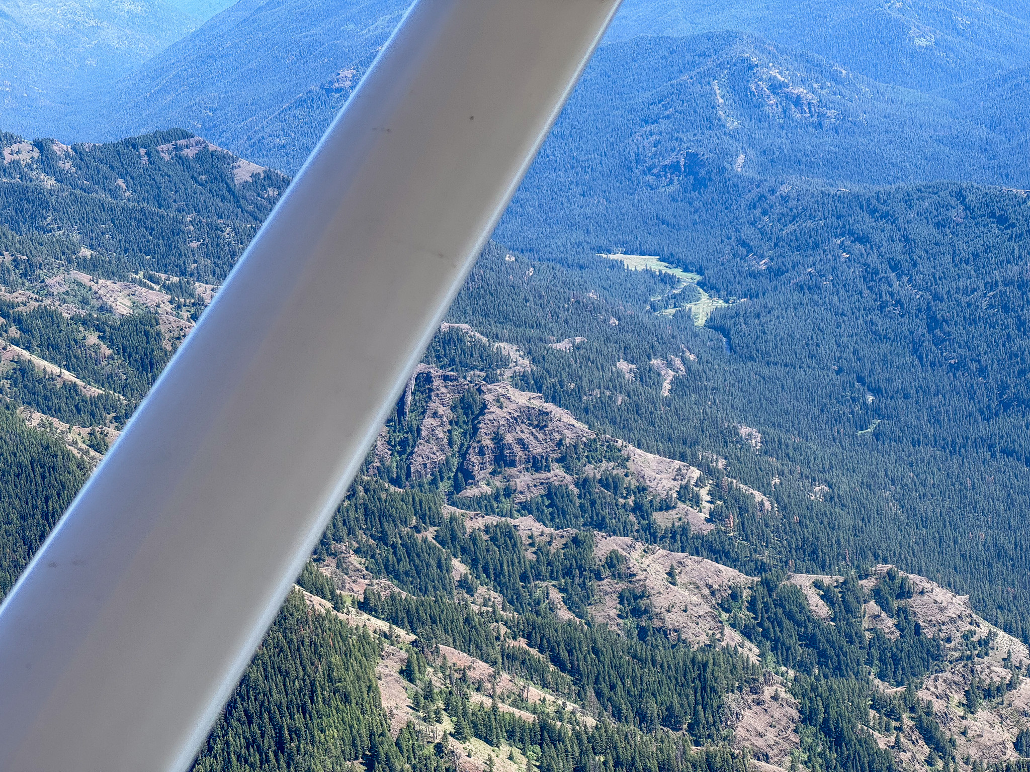
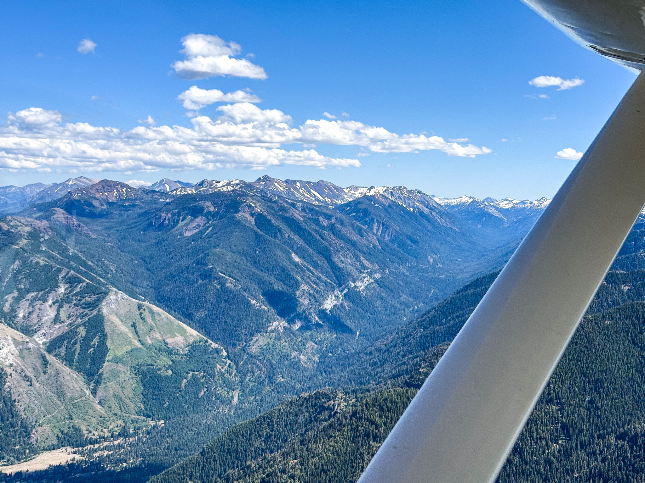
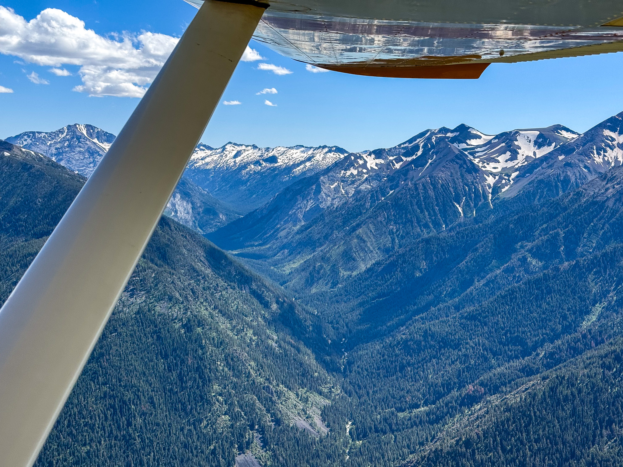
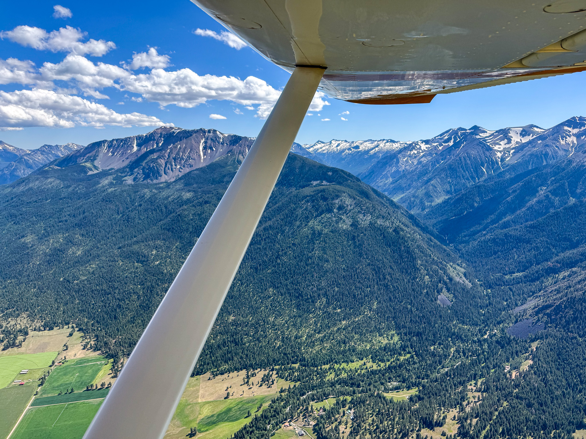
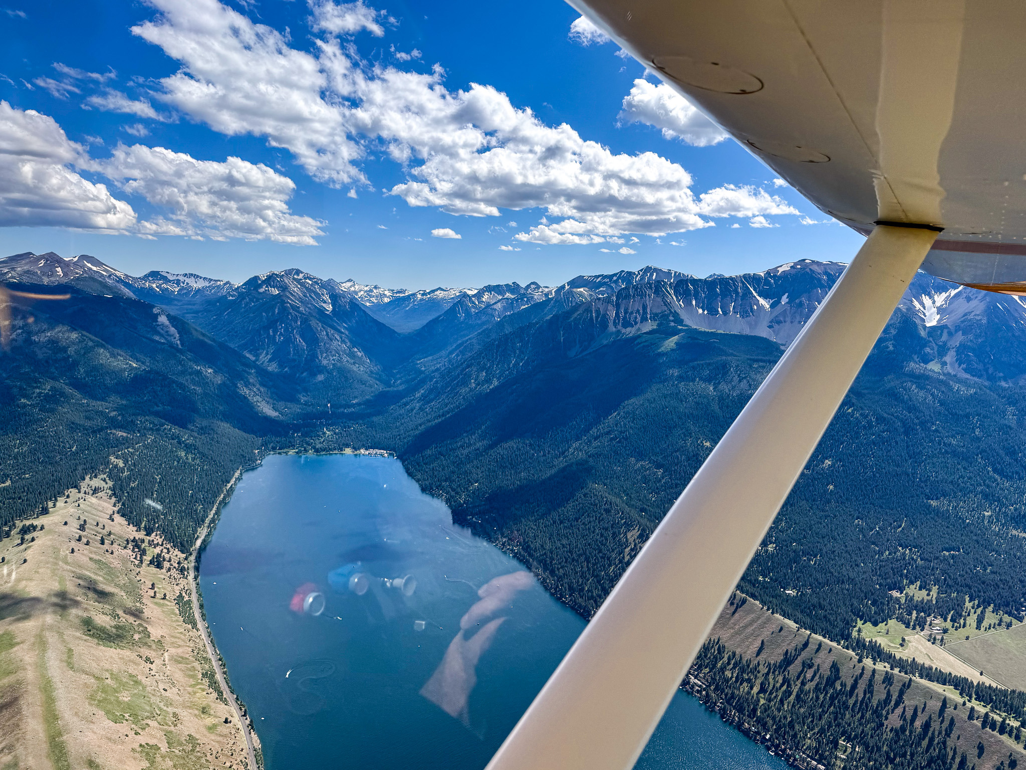
Wallowa Lake
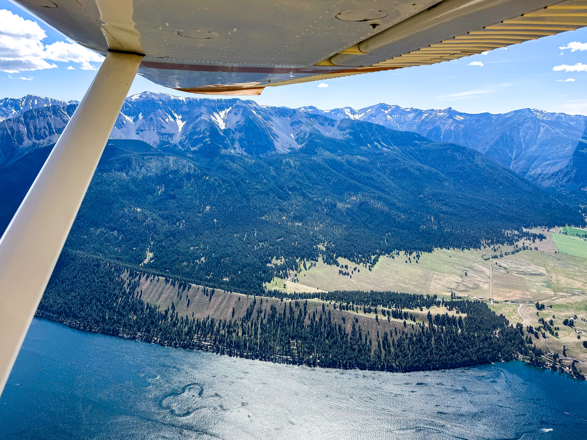
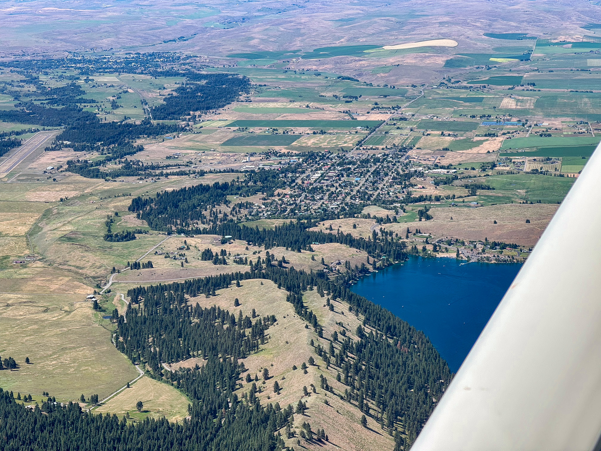
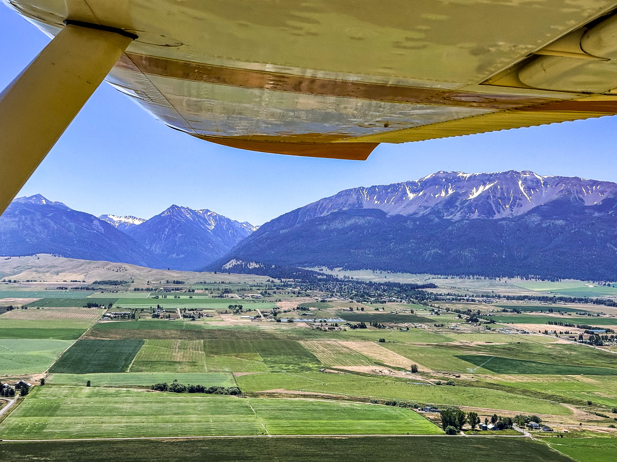
Joseph
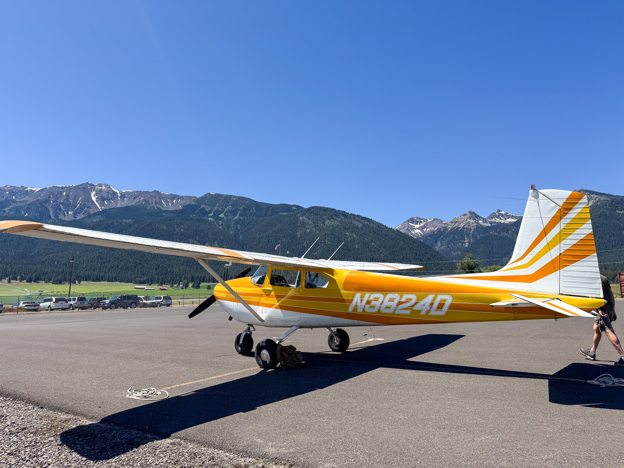
Joseph State Airport, Joseph, Oregon – KJSYRunway 15/33
Dimensions: 5202 x 60 ft. / 1586 x 18 m
Surface: asphalt, in excellent condition
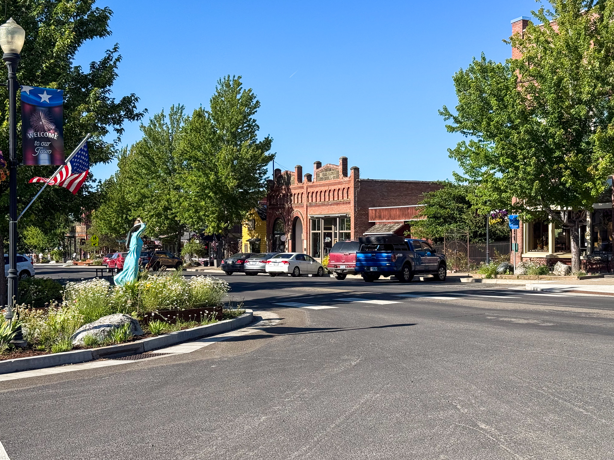
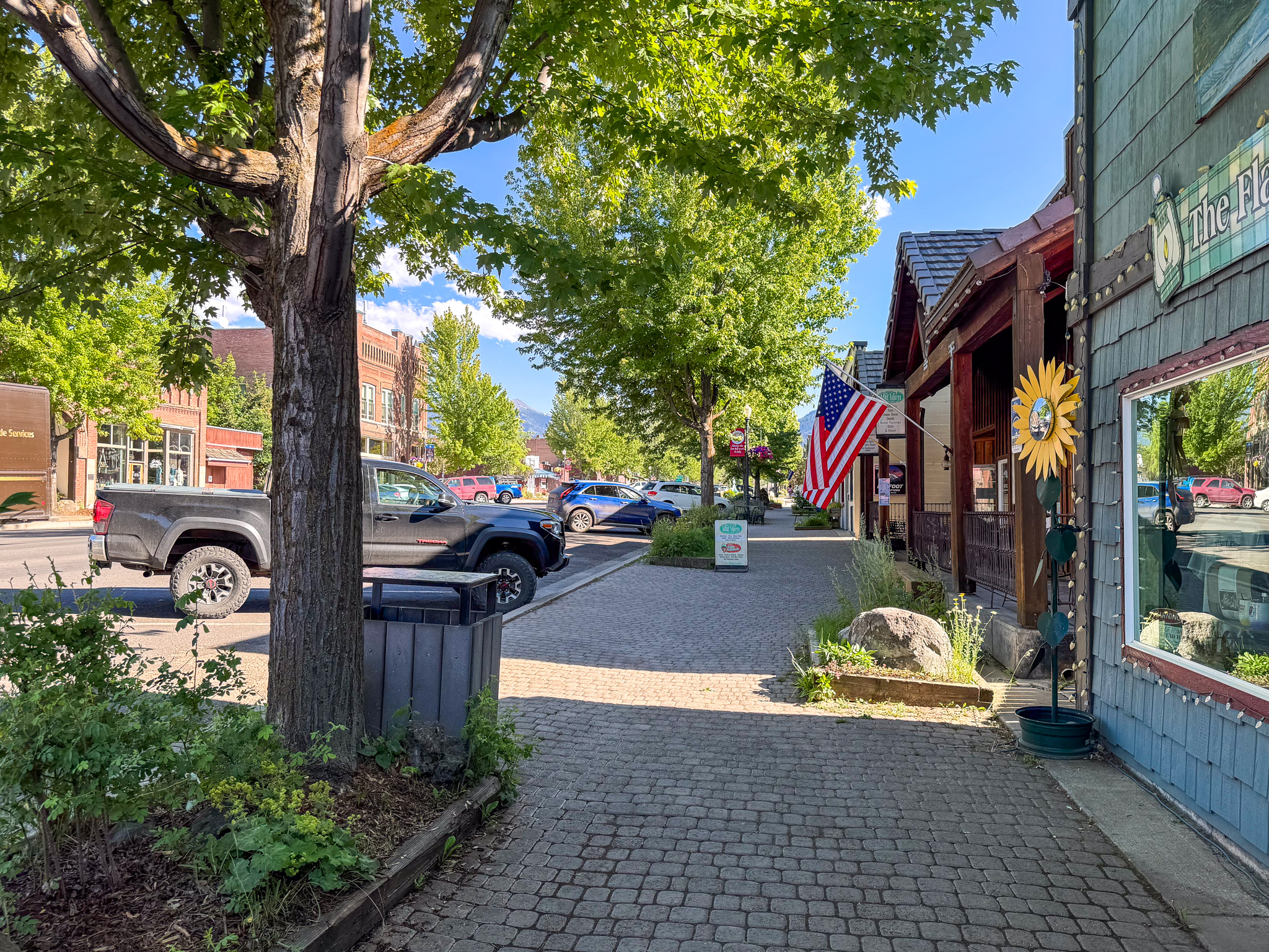
Bronze Antler B&B for 2 nights
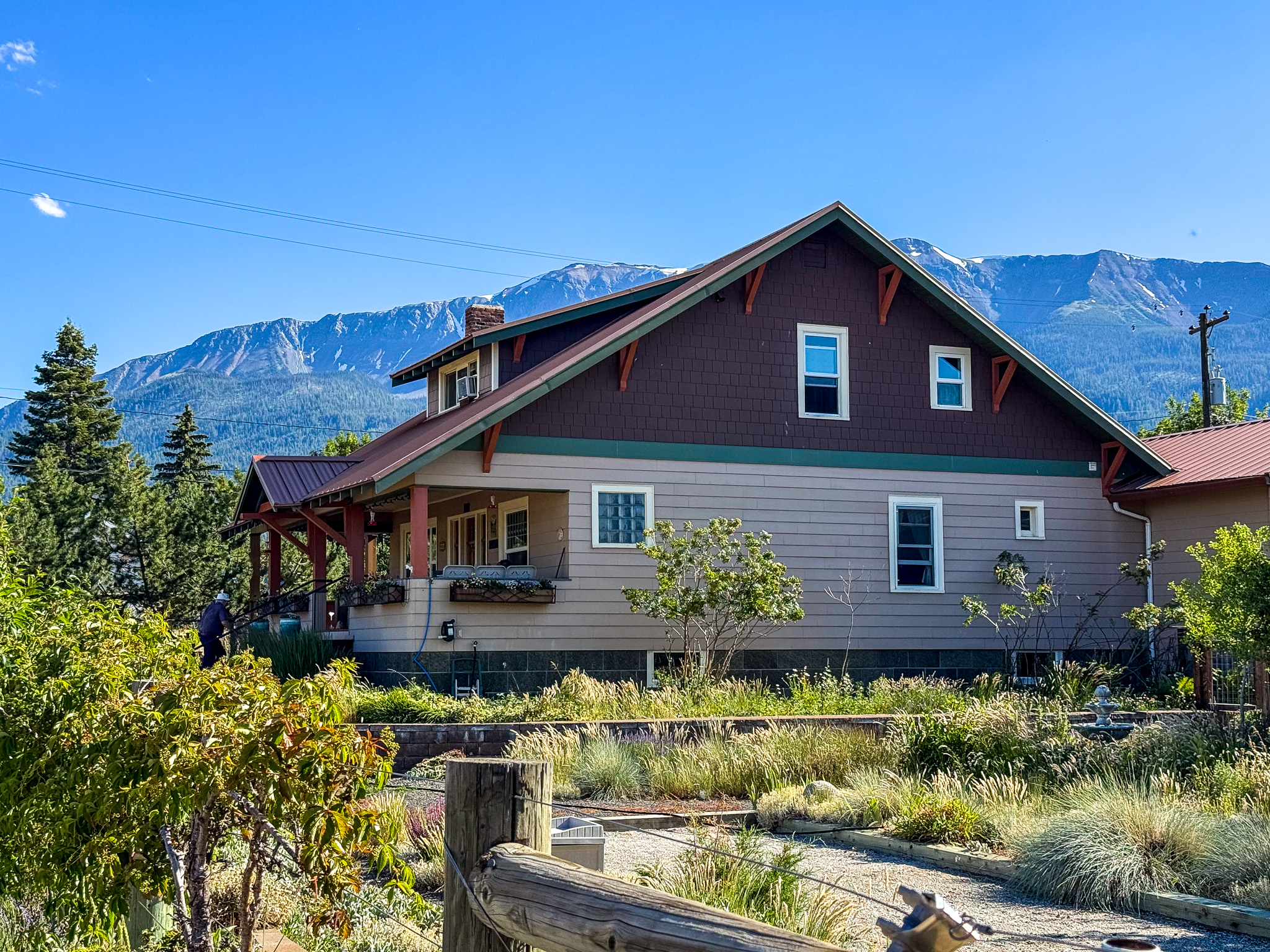
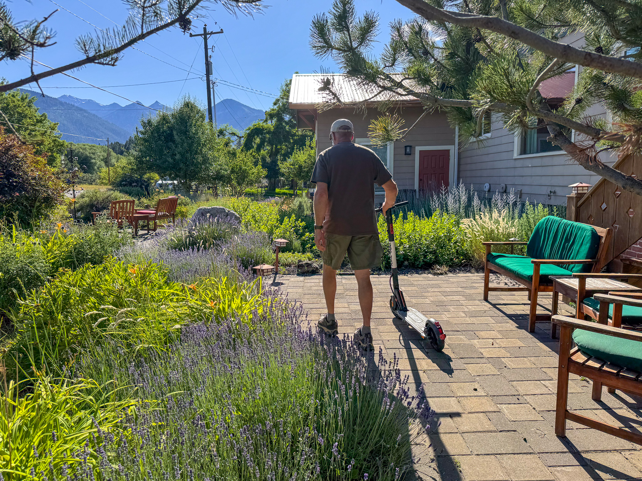
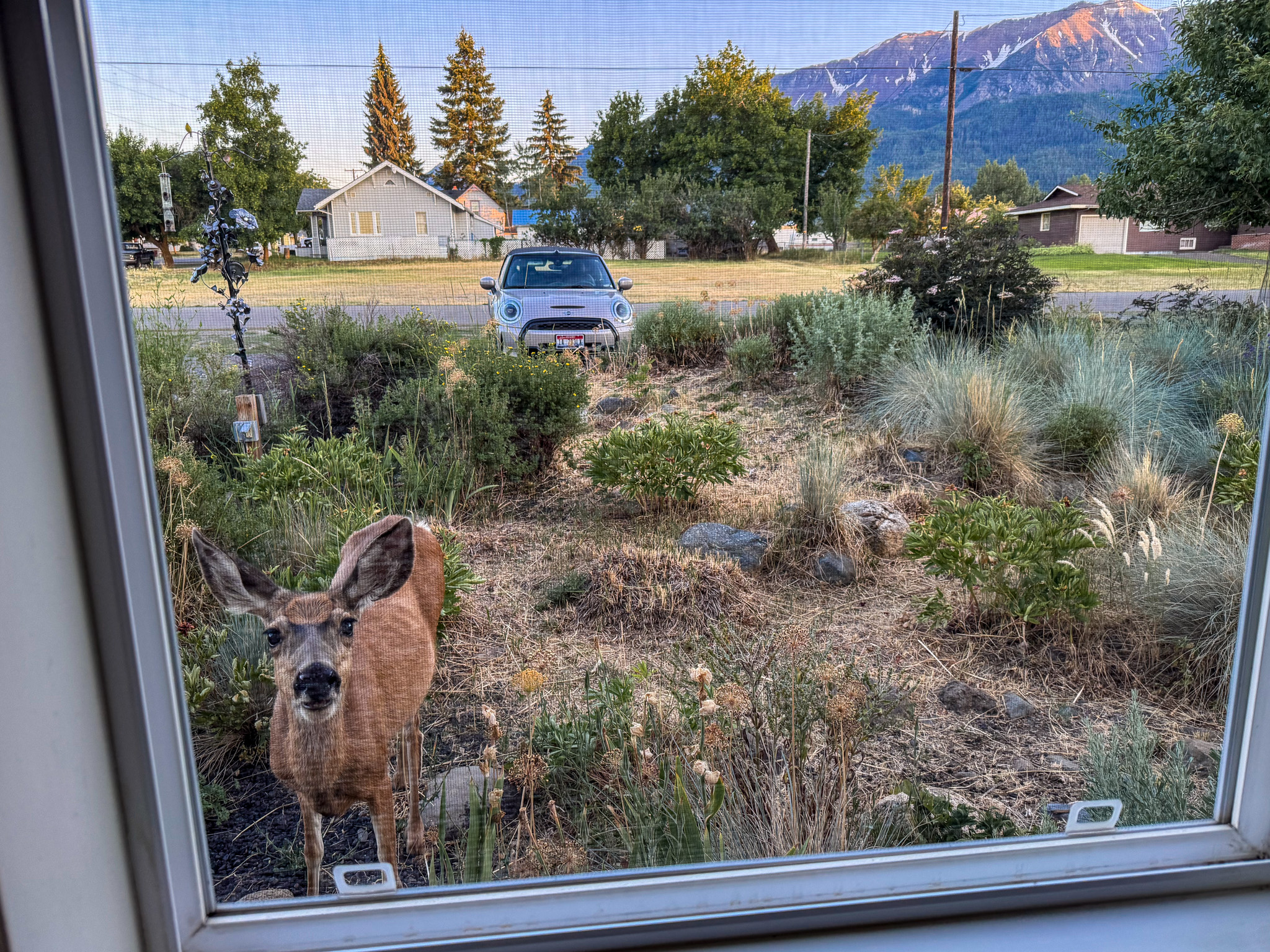
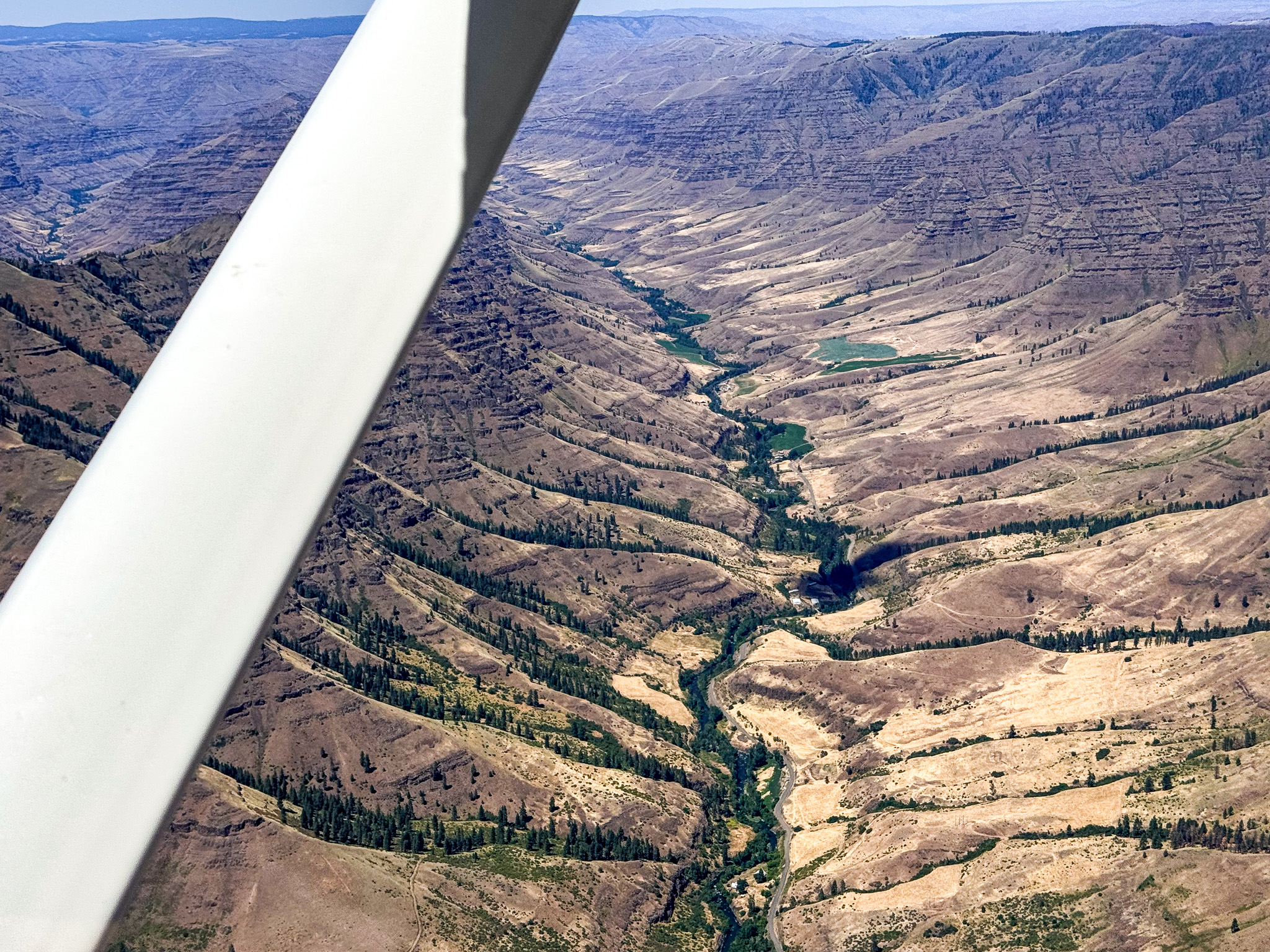
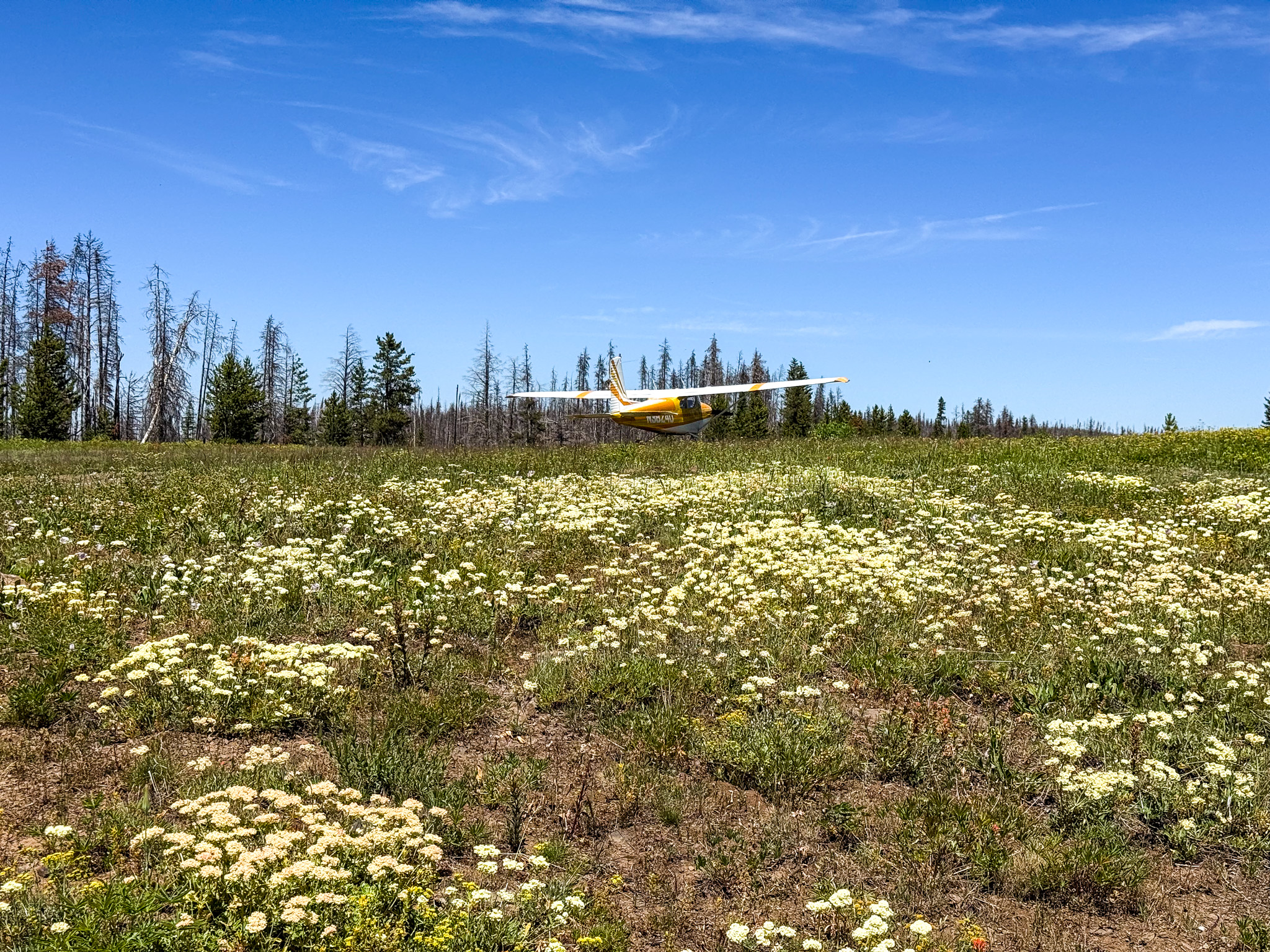
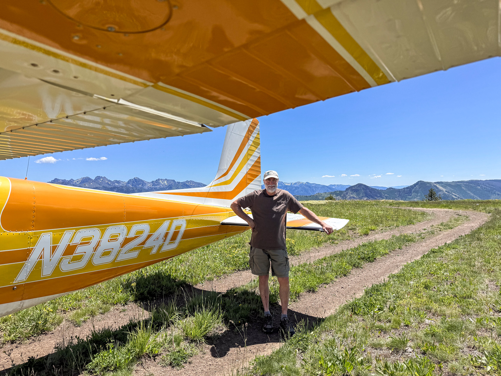
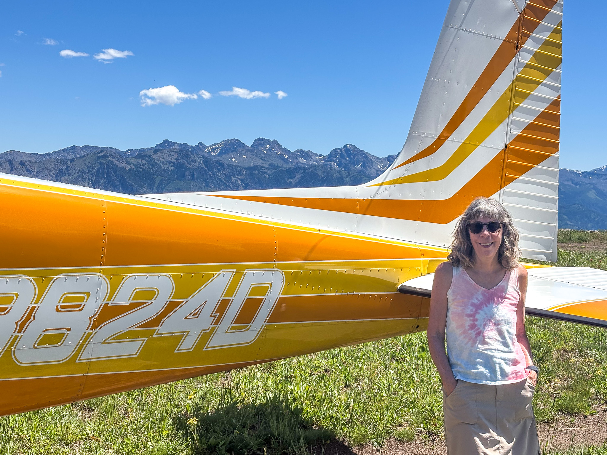
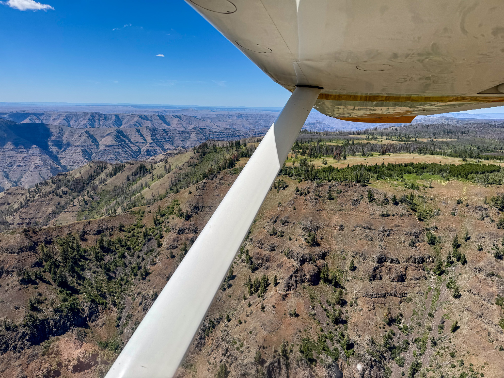
Heading to the airport for an outing to Memaloose, a primitive airstrip located on the rim of Hells Canyon on the Oregon side, about 5,000 feet above the Snake River.
Memaloose USFS airport – 25U. Elevation 6708 feet. Runway 17/35
Dimensions: 3300 x 120 ft. / 1006 x 37 m
Surface: dirt, in fair condition
LOOSE 3 IN – 6 IN ROCKS ON RWY; RWY FAIR DEFINED FOR GRVL TURF RWY. SOUTH 1000 FT RUF & OVERGROWN WITH WEEDS.
Runway edge markings: THLD MKD BY WHITE ROCKS ACROSS RY END.
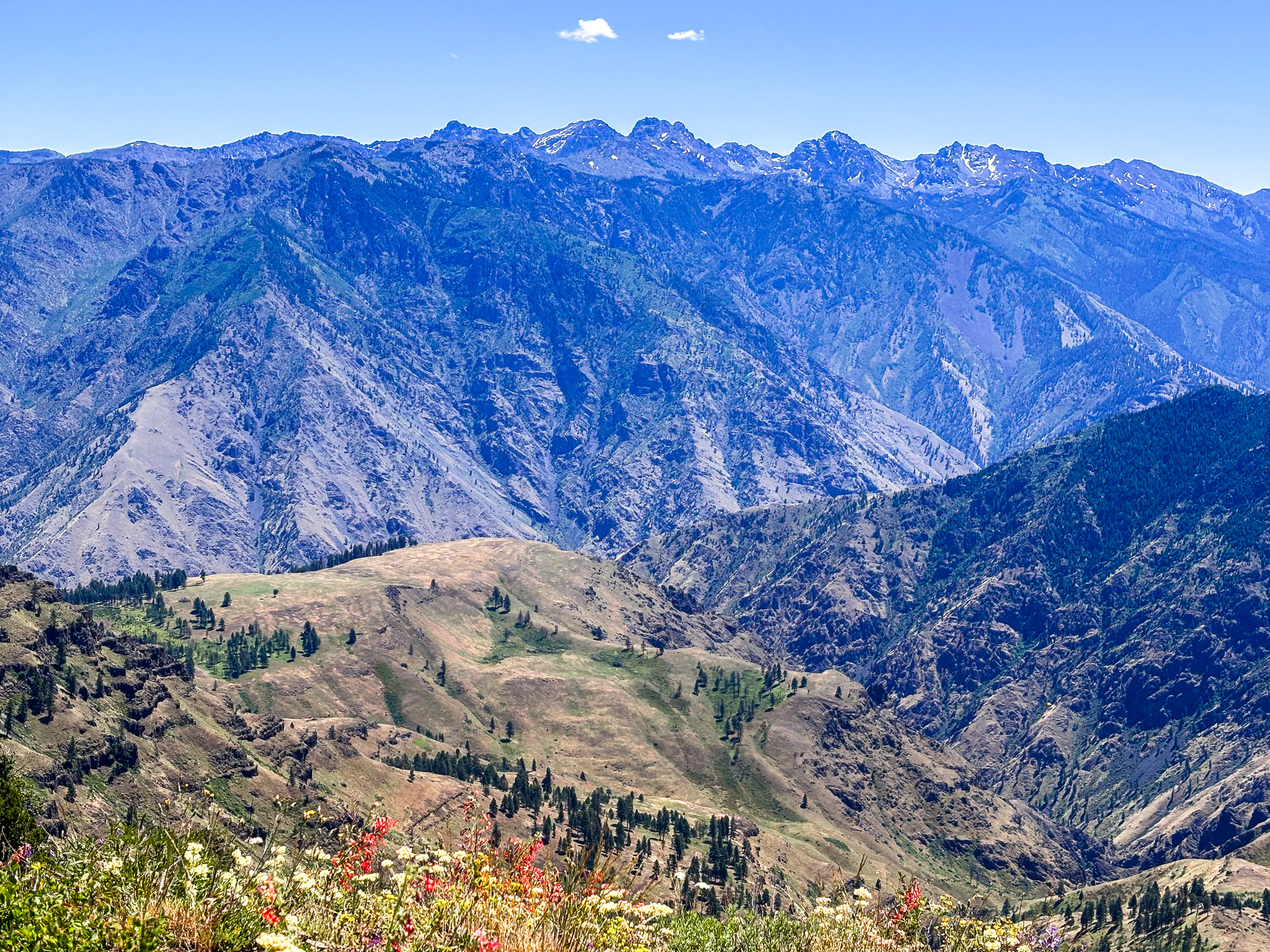
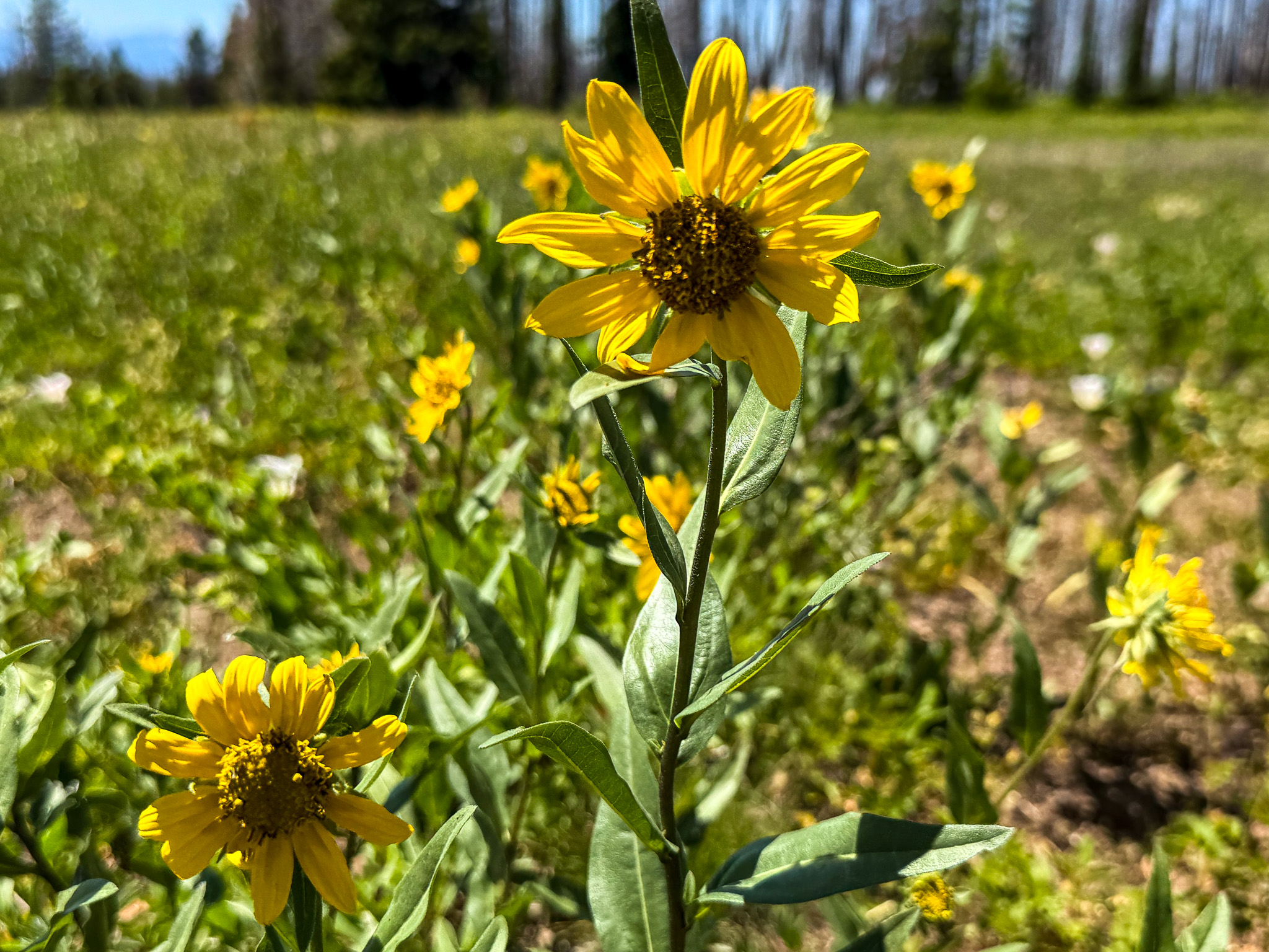
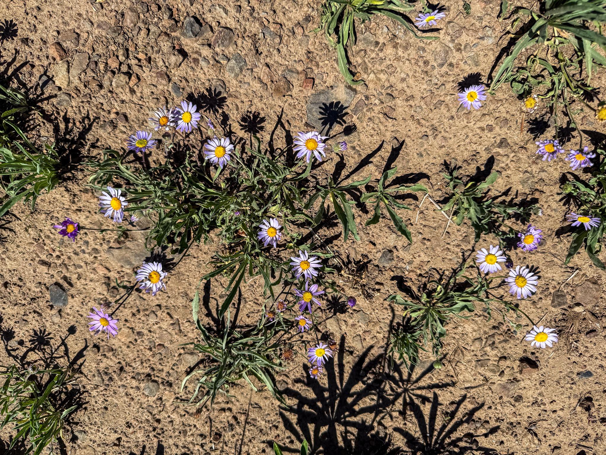
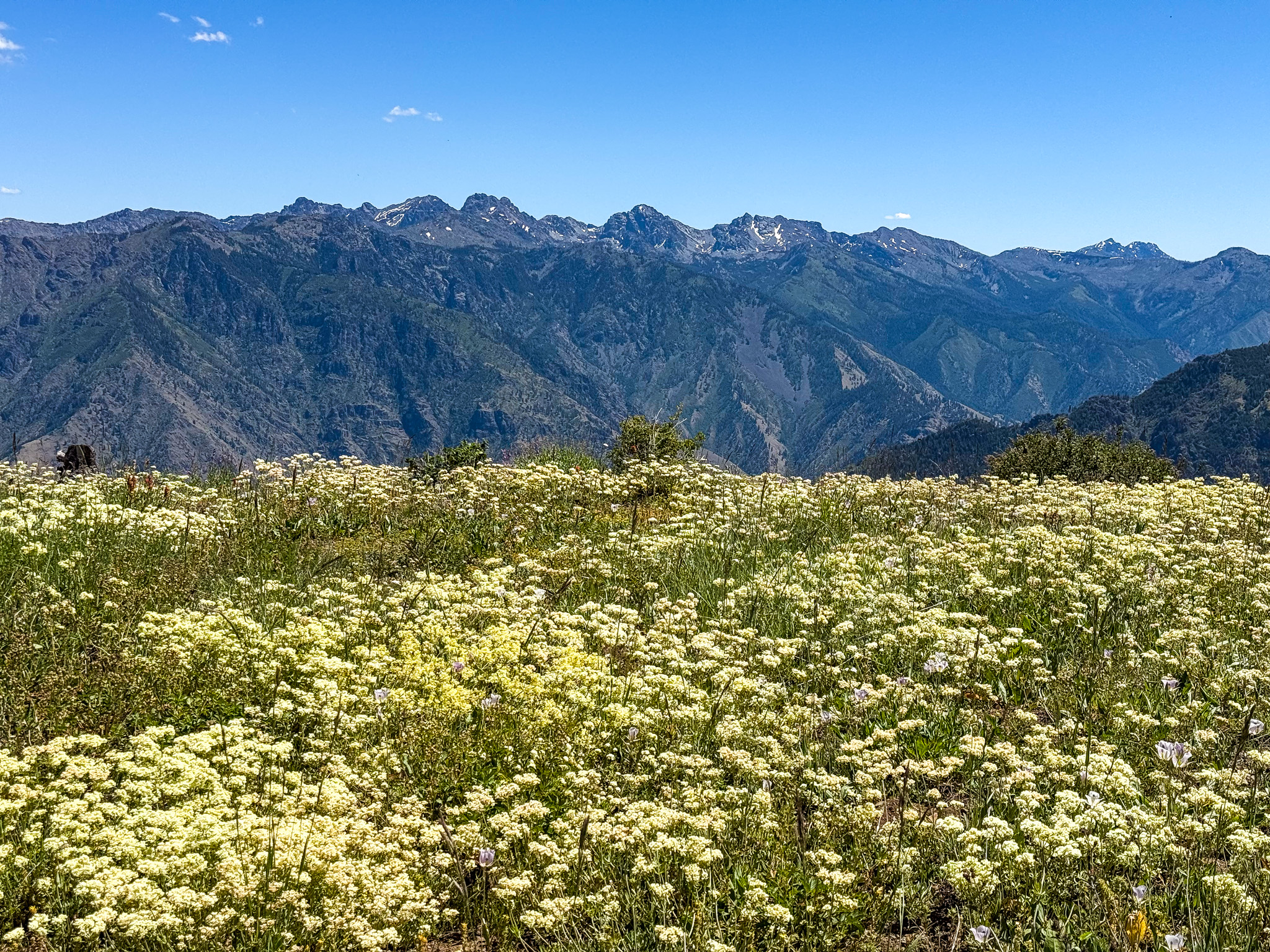
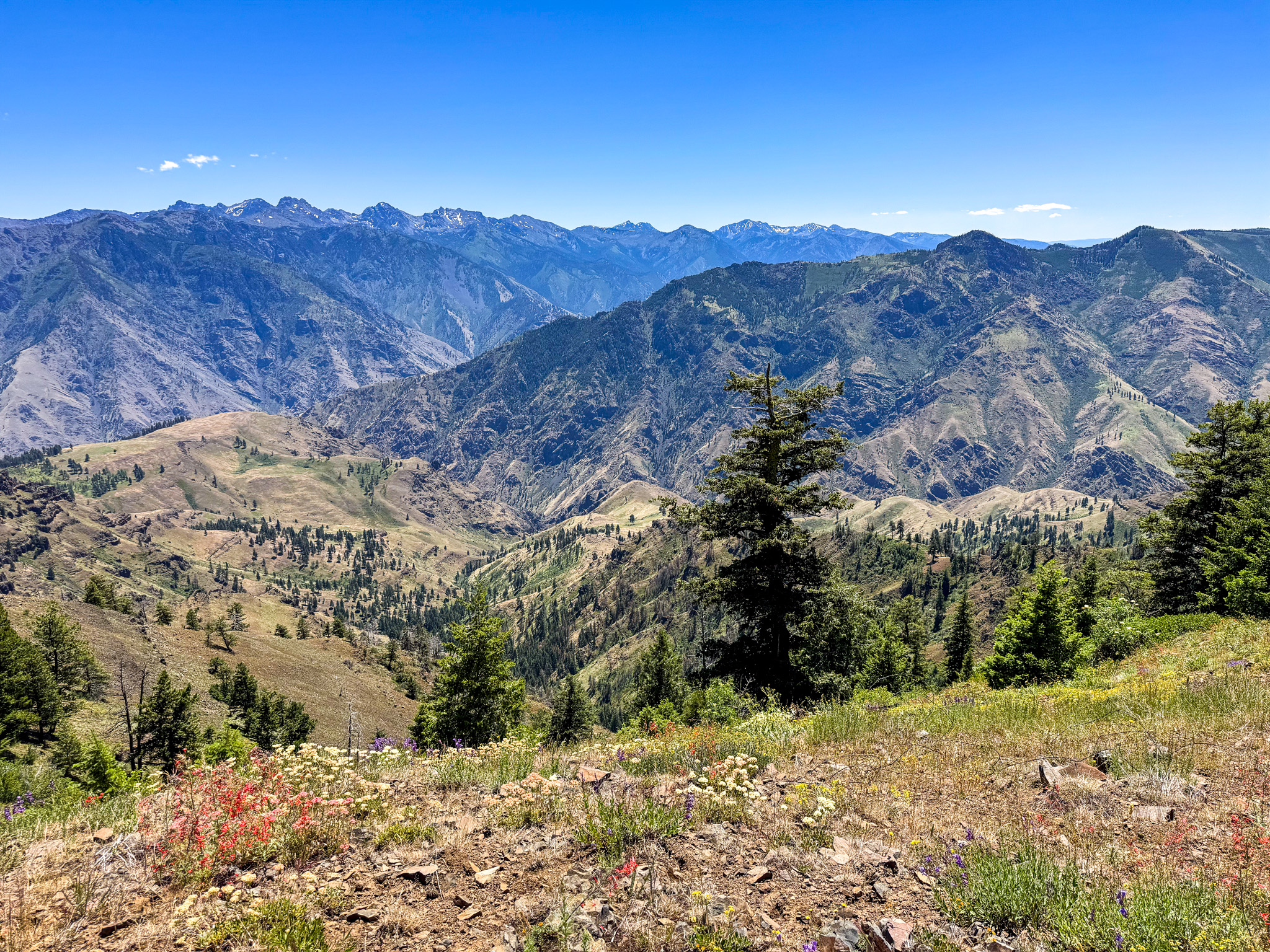
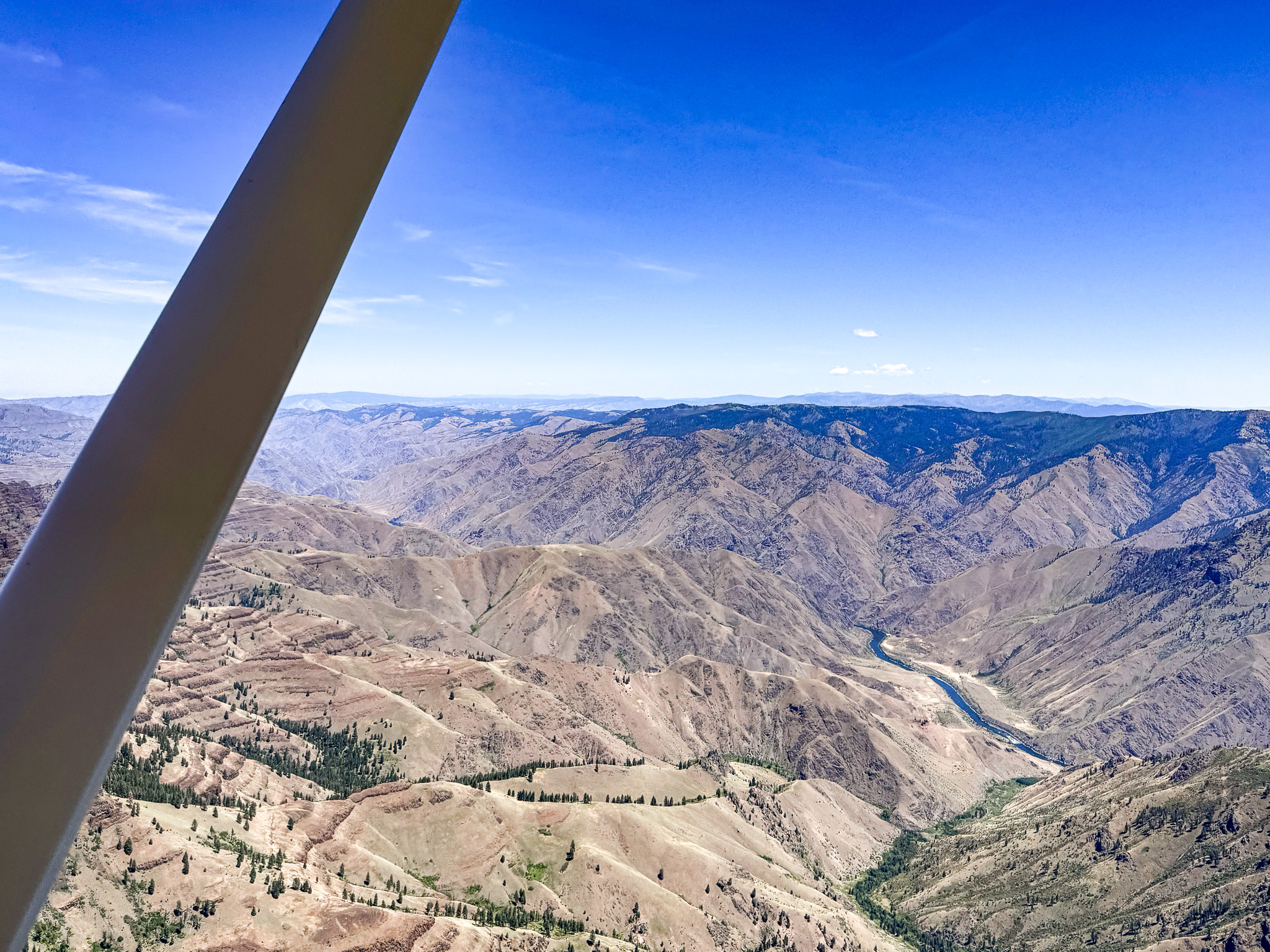
Snake River Canyon
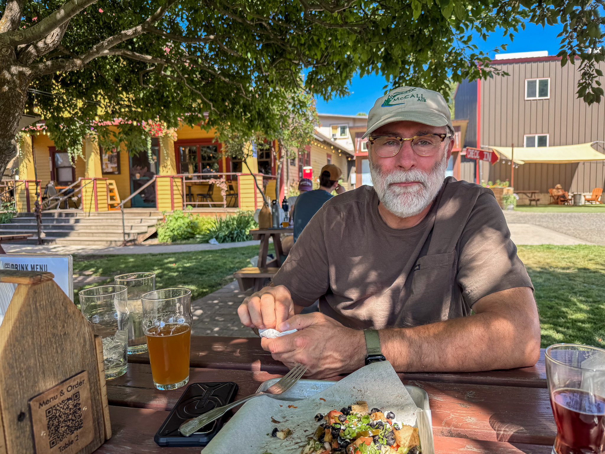
Terminal Gravity in Enterprise for a late lunch. Very pleasant outside under the trees despite the heat.
Enterprise Municipal Airport, Enterprise, Oregon – 8S4
Runway 12/30
Dimensions: 2850 x 50 ft. / 869 x 15 m
Surface: asphalt, in fair condition
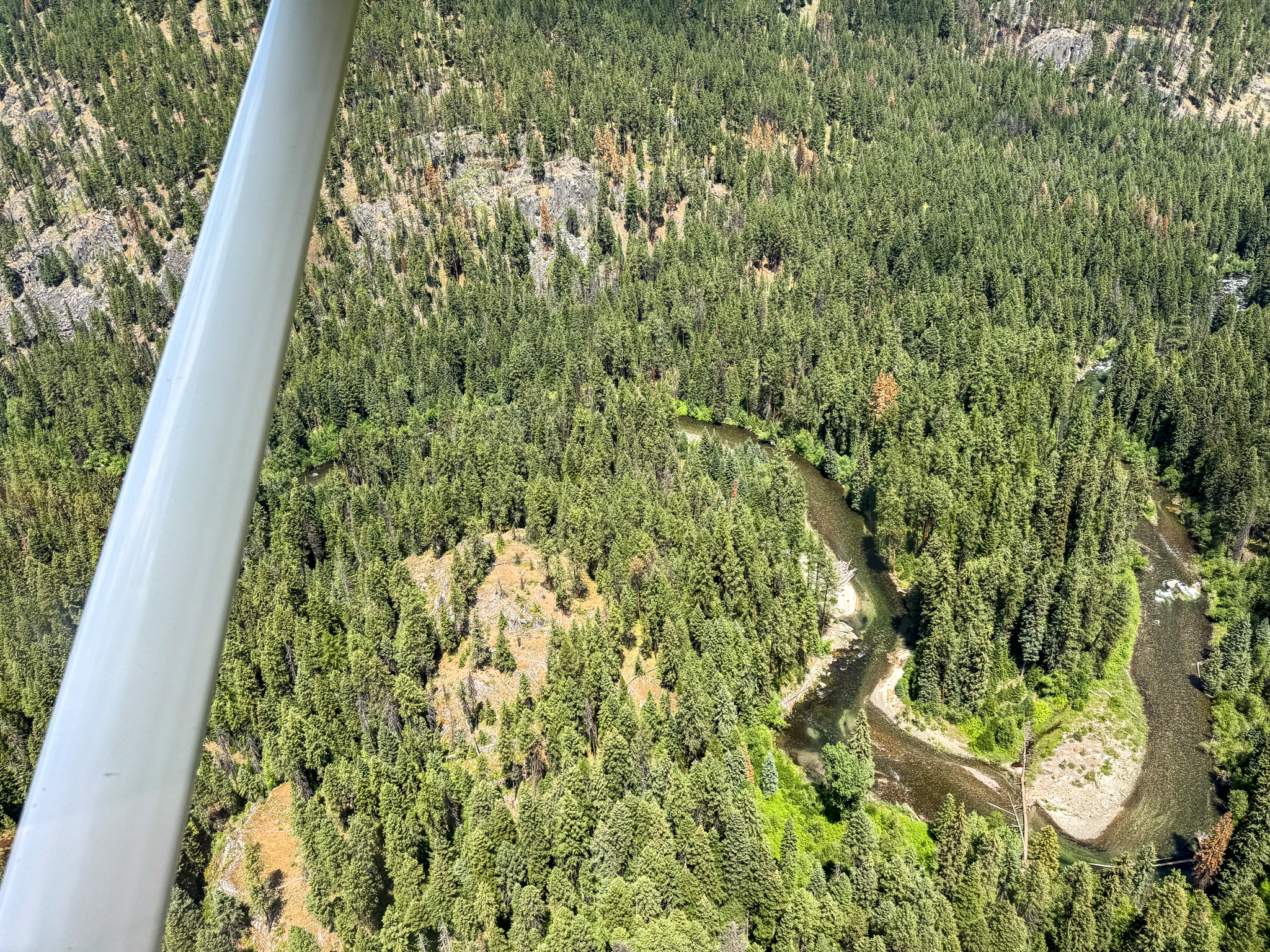
Almost to Minam River Lodge
Flying over Red’s Horse Ranch. Next door to Minam River Lodge.
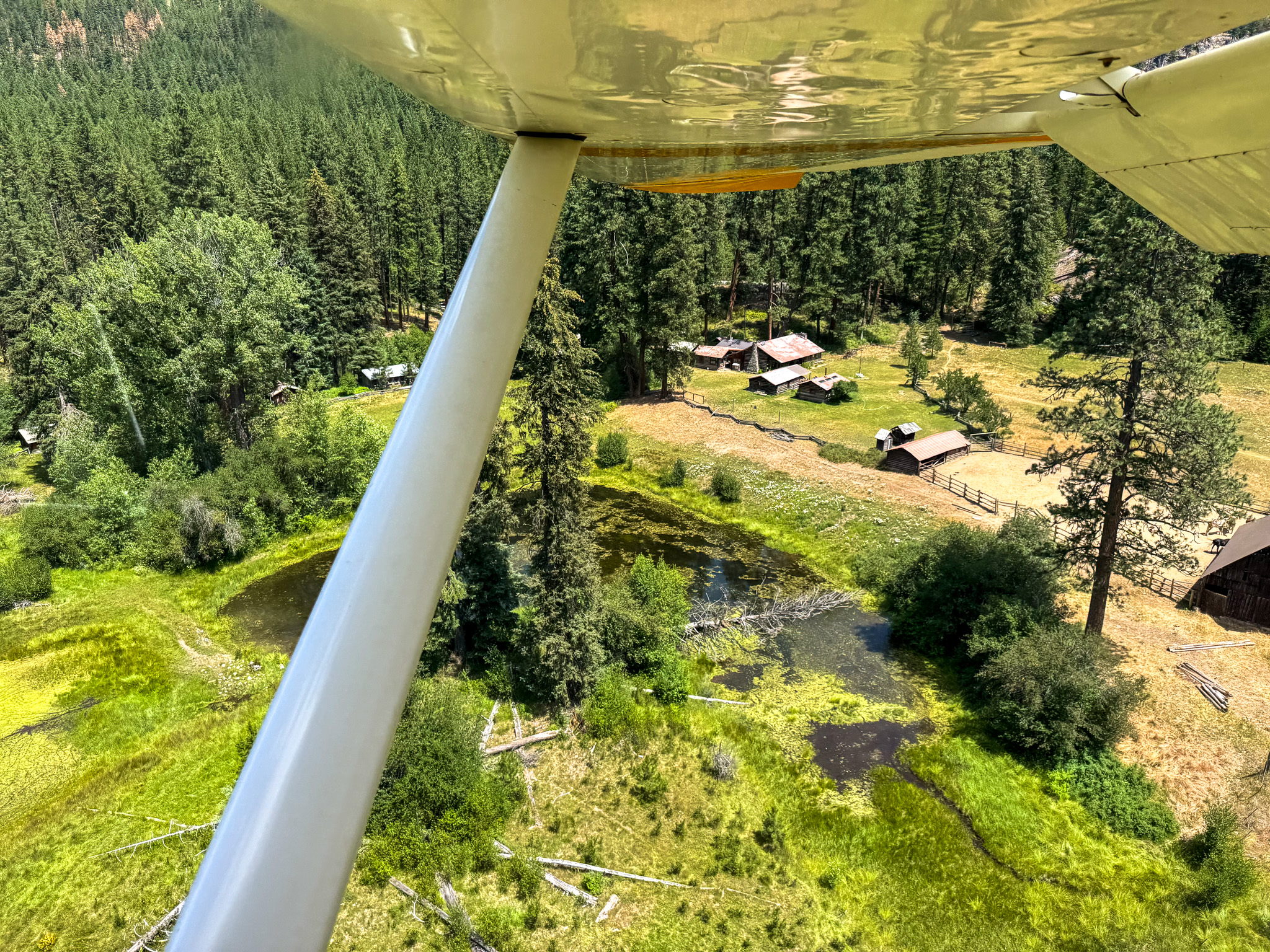
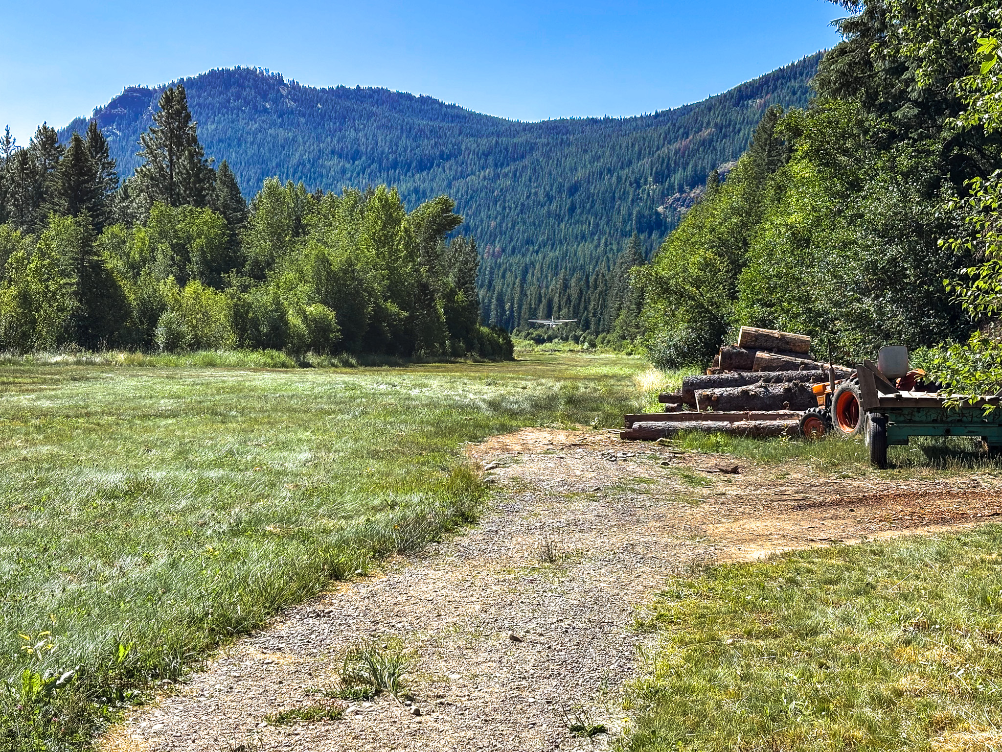
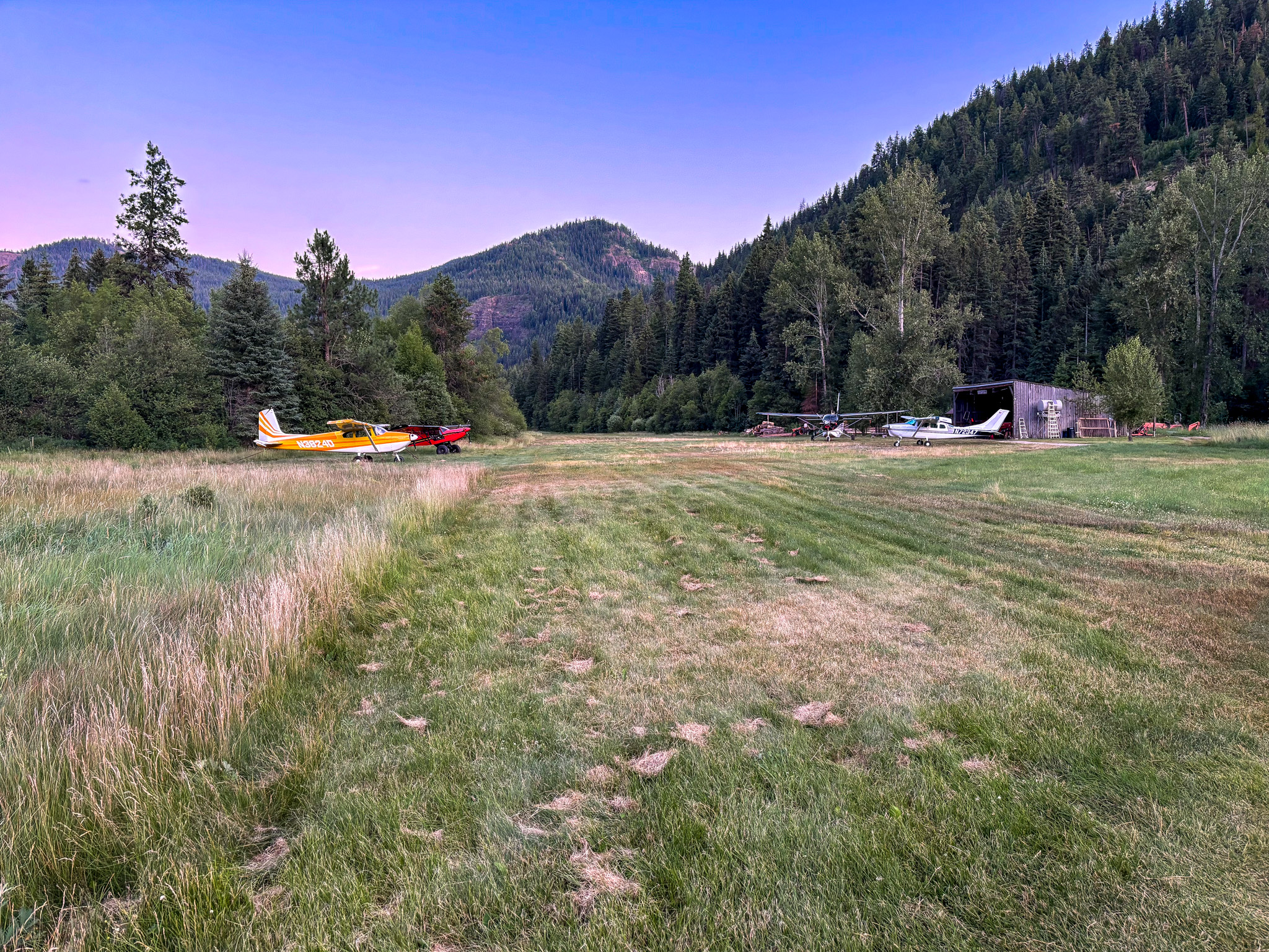
Minam’s dog-eared landing strip (elevation 3589 ft)
Minam Lodge Airport, Cove, Oregon – 7OR0 (PRIVATE)
Runway N/S
Dimensions: 2000 x 40 ft. / 610 x 12 m
40′ LNDG AREA WITHIN 75′ CLEARANCE AREA.
Surface: turf
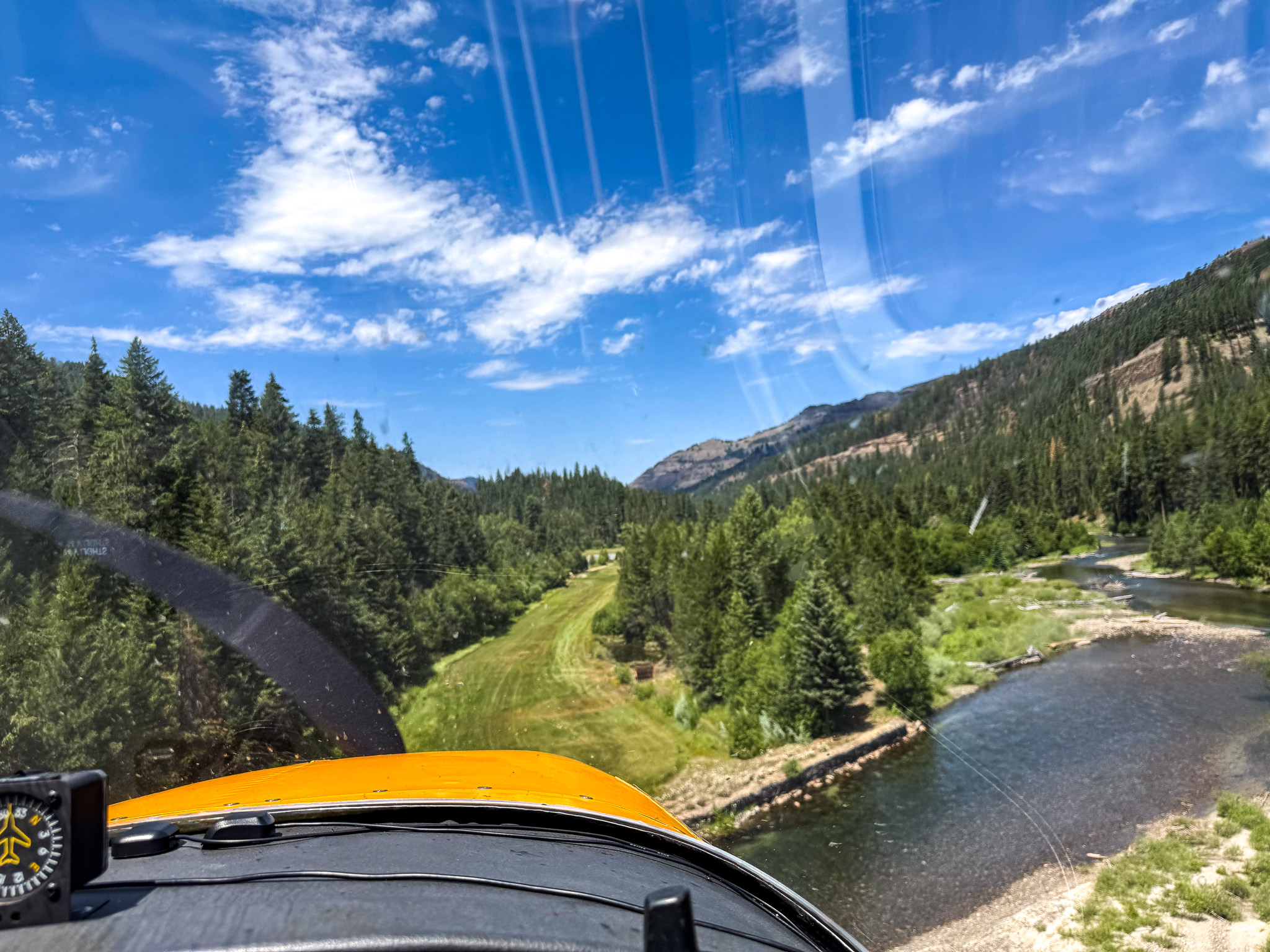
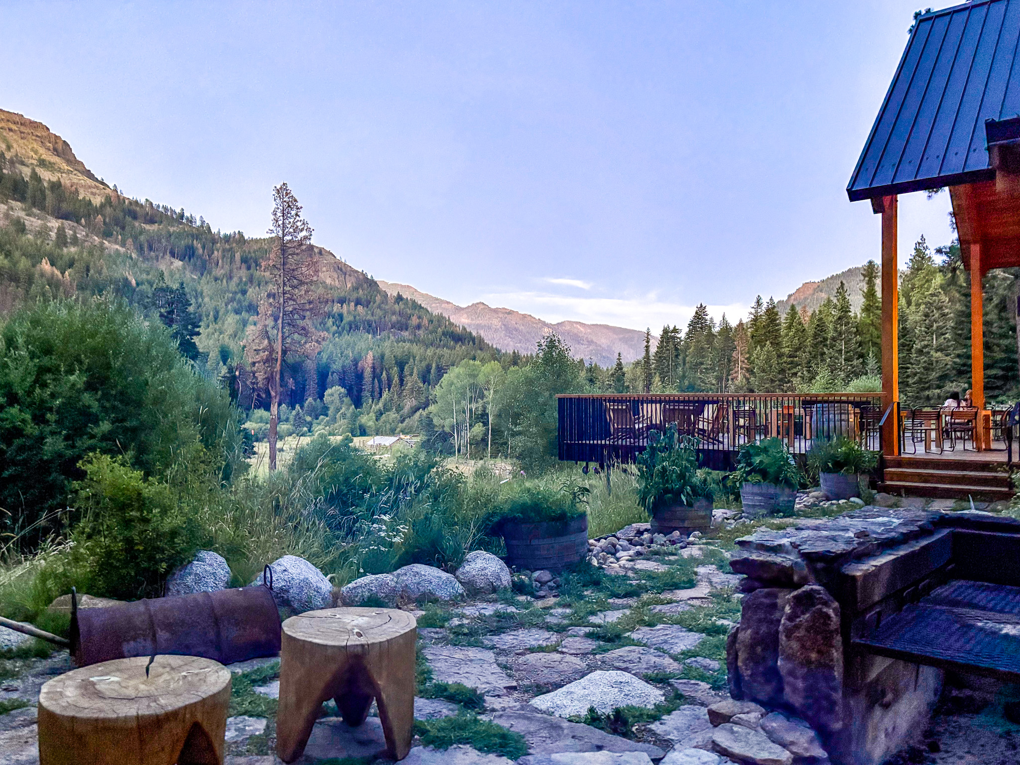
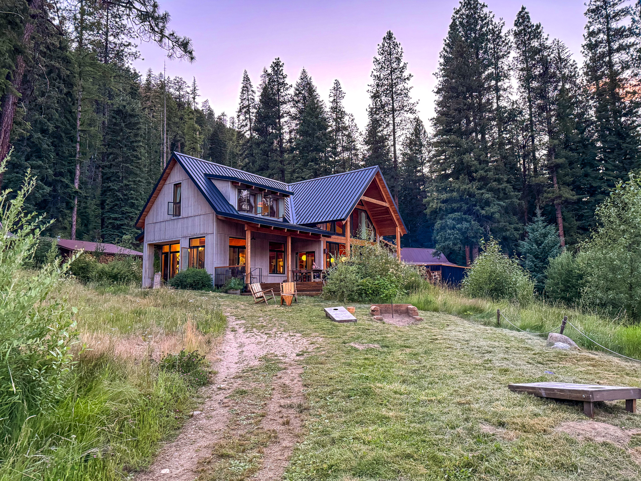
Minam River Lodge for 3 nights
The Original Minam Lodge was built in 1950 as a hunting lodge. With the enactment of the Wilderness Preservation System in 1964, the property became a private inholding within the Eagle Cap Wilderness (like Red’s Horse Ranch next door).
After falling into disrepair, native Oregonian Barnes Ellis purchased the 126-acre property in 2011 and started rebuilding. He re-opened the lodge in 2017.
Getting to this remote spot is only obtainable by backcountry aircraft, horse, or by hiking 8.5 miles.
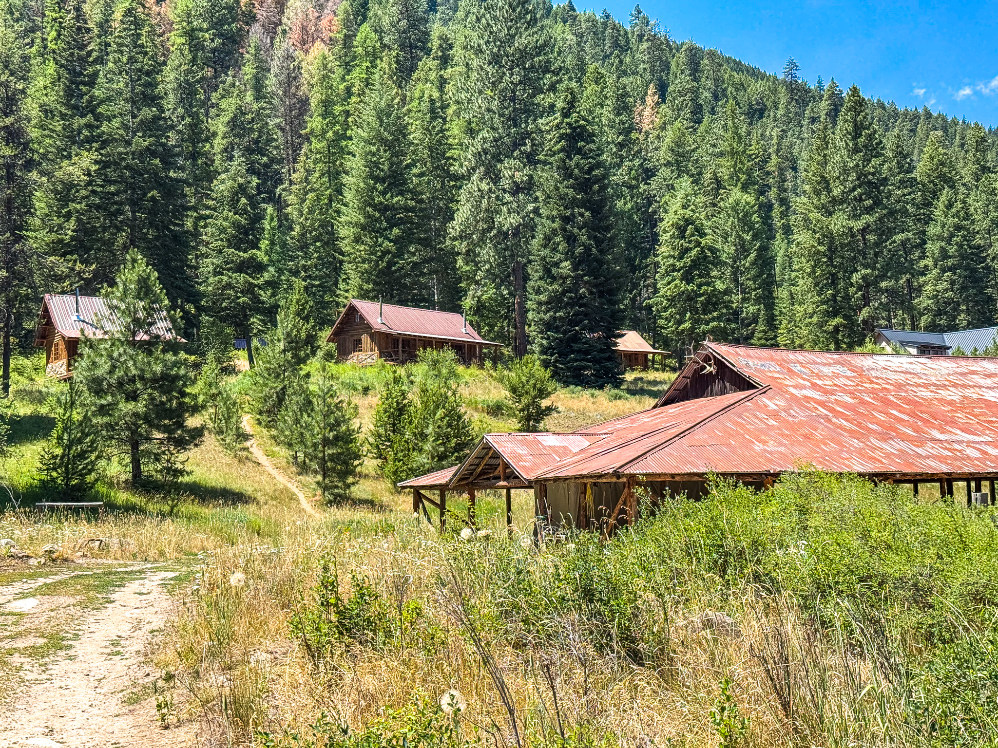
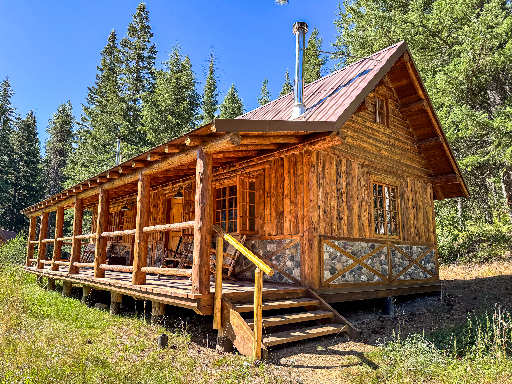
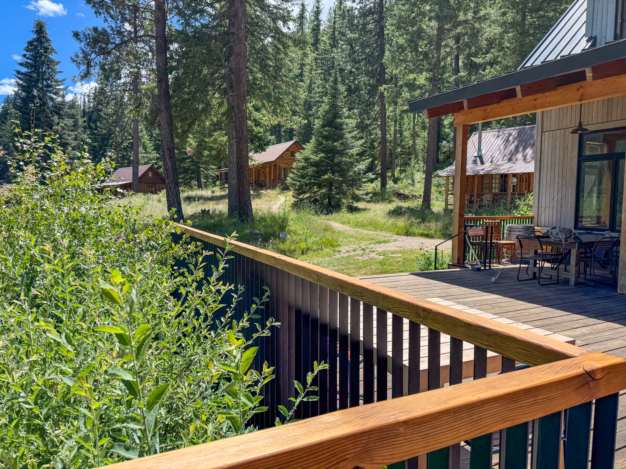
We stayed in Chanterelle cabin, which has a shared wall with Morel
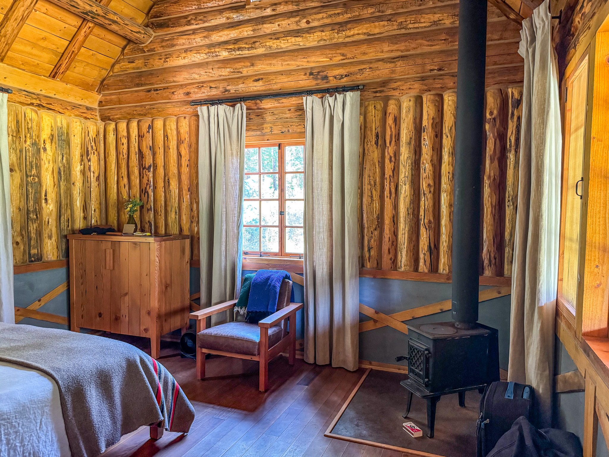
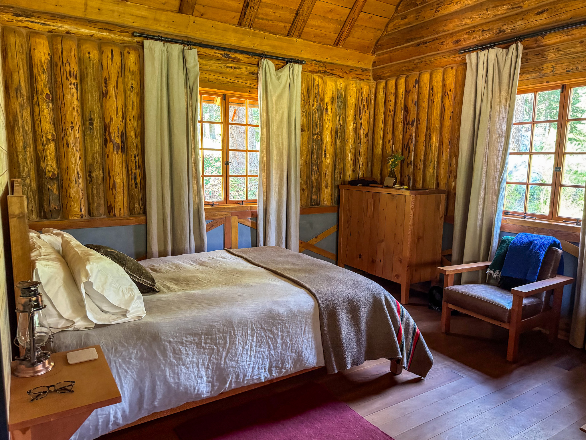
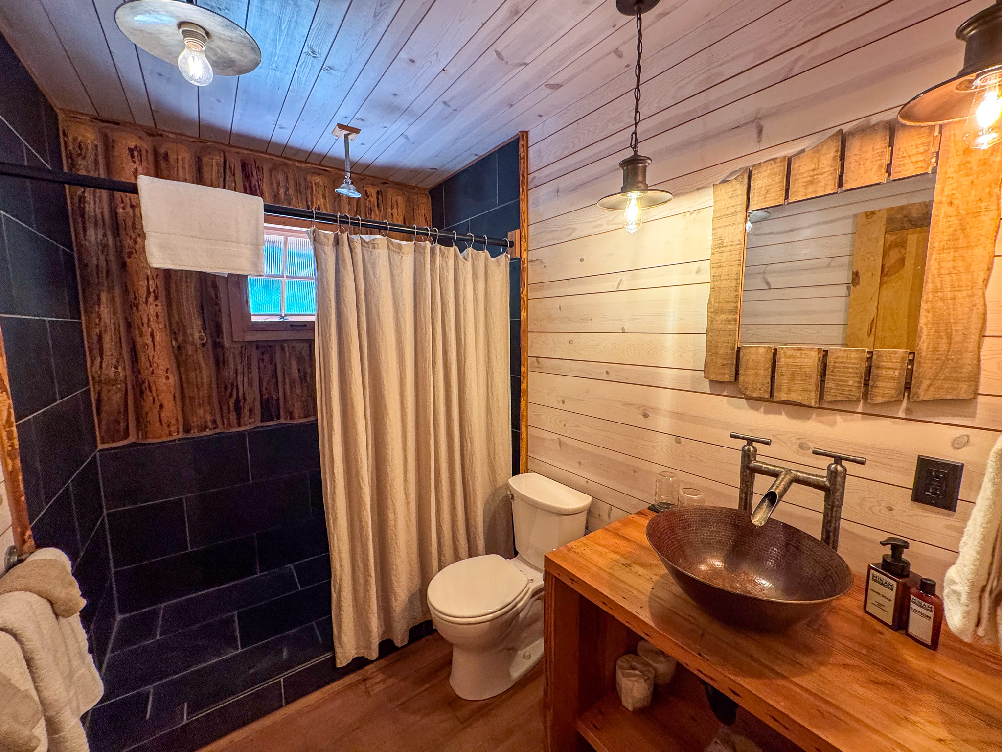
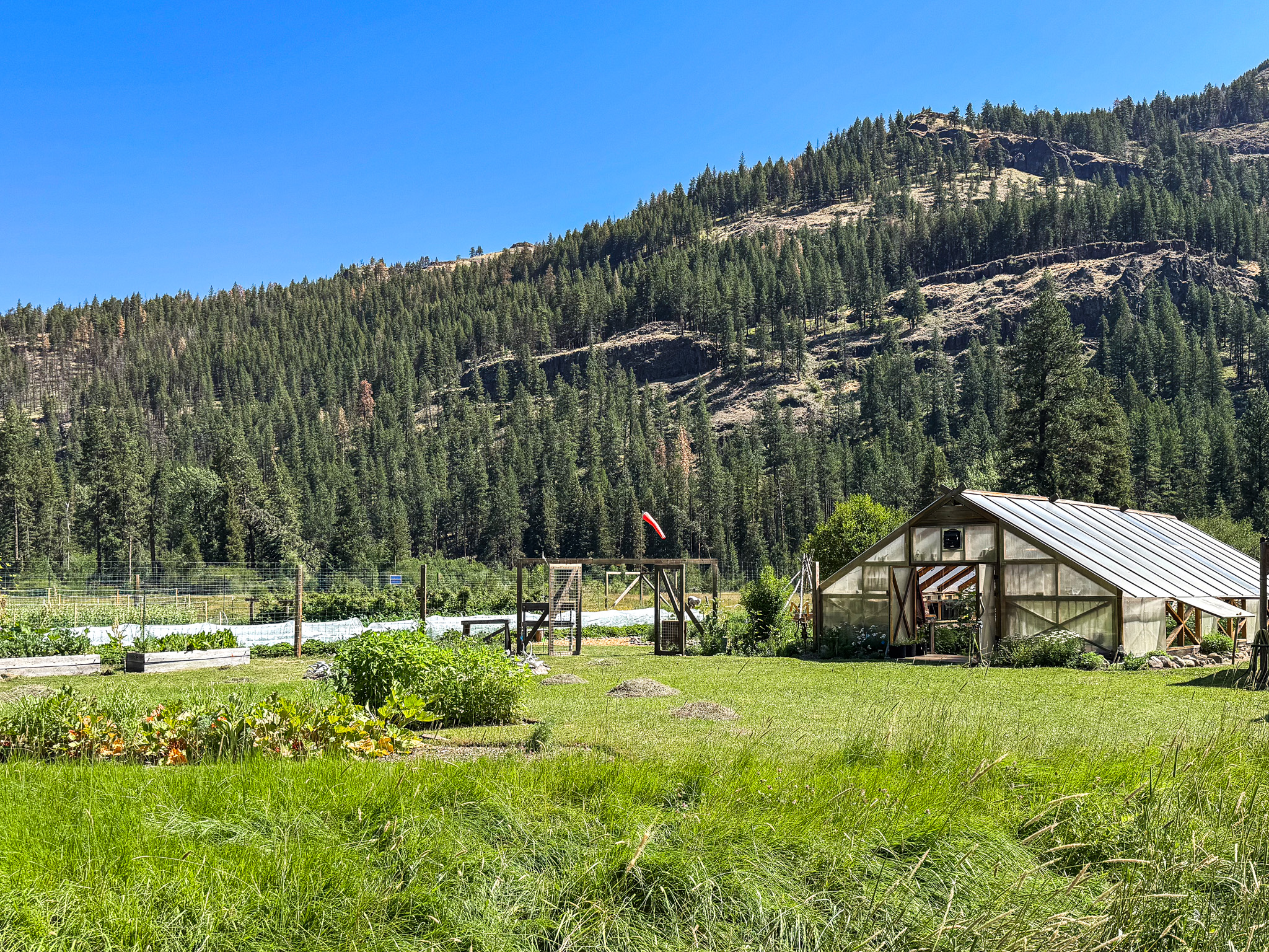
Vegetable garden and greenhouse
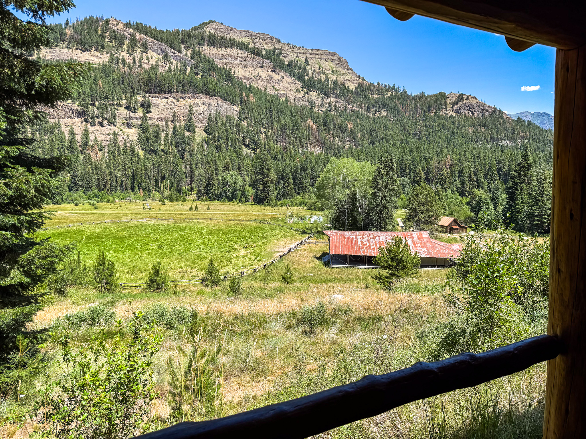
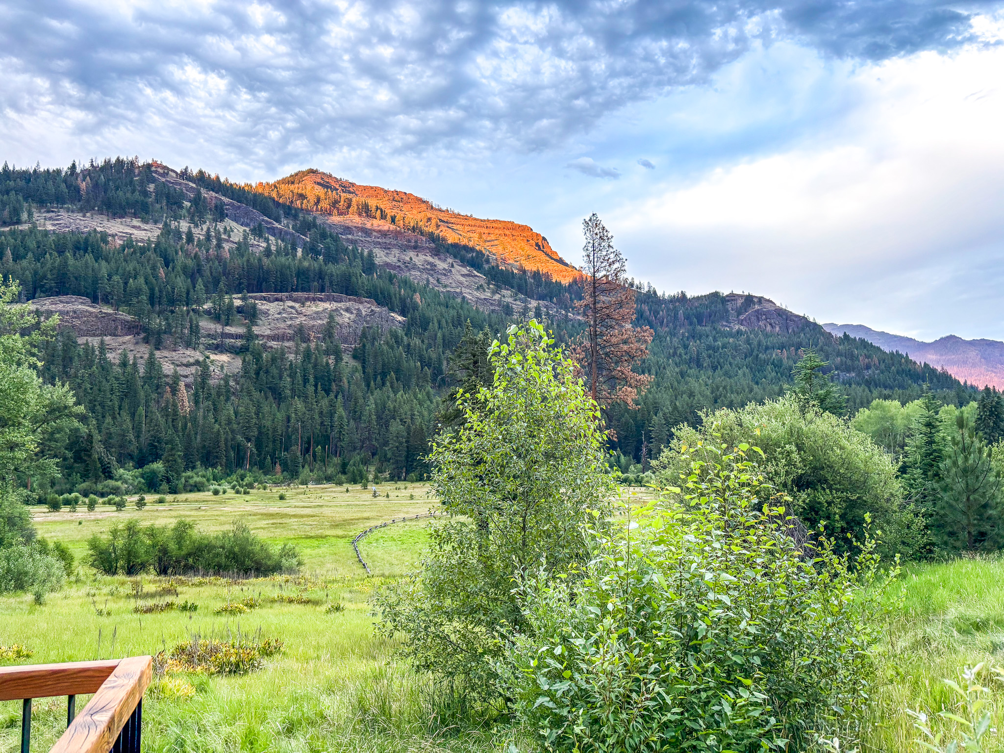
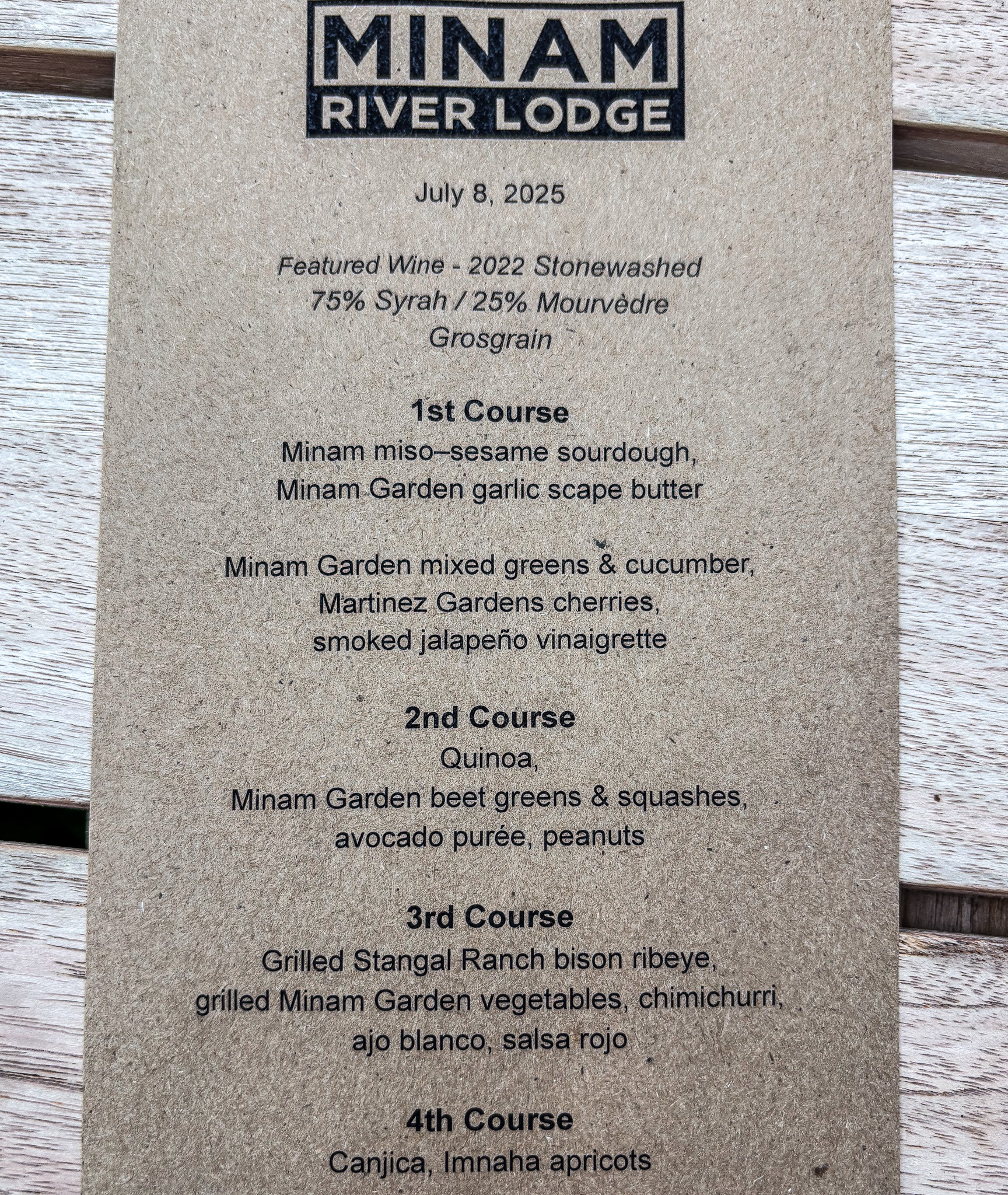
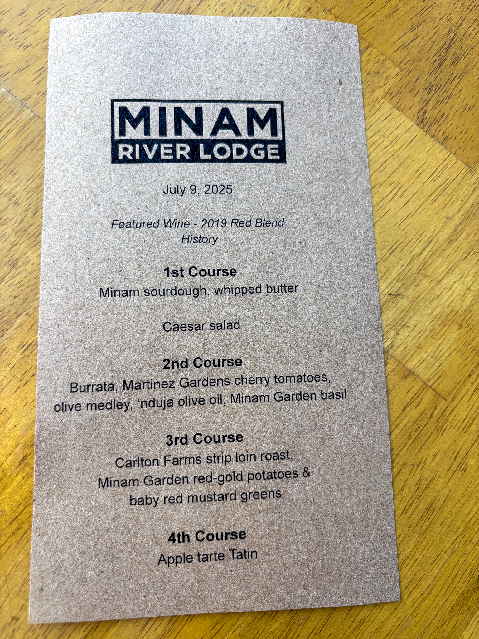
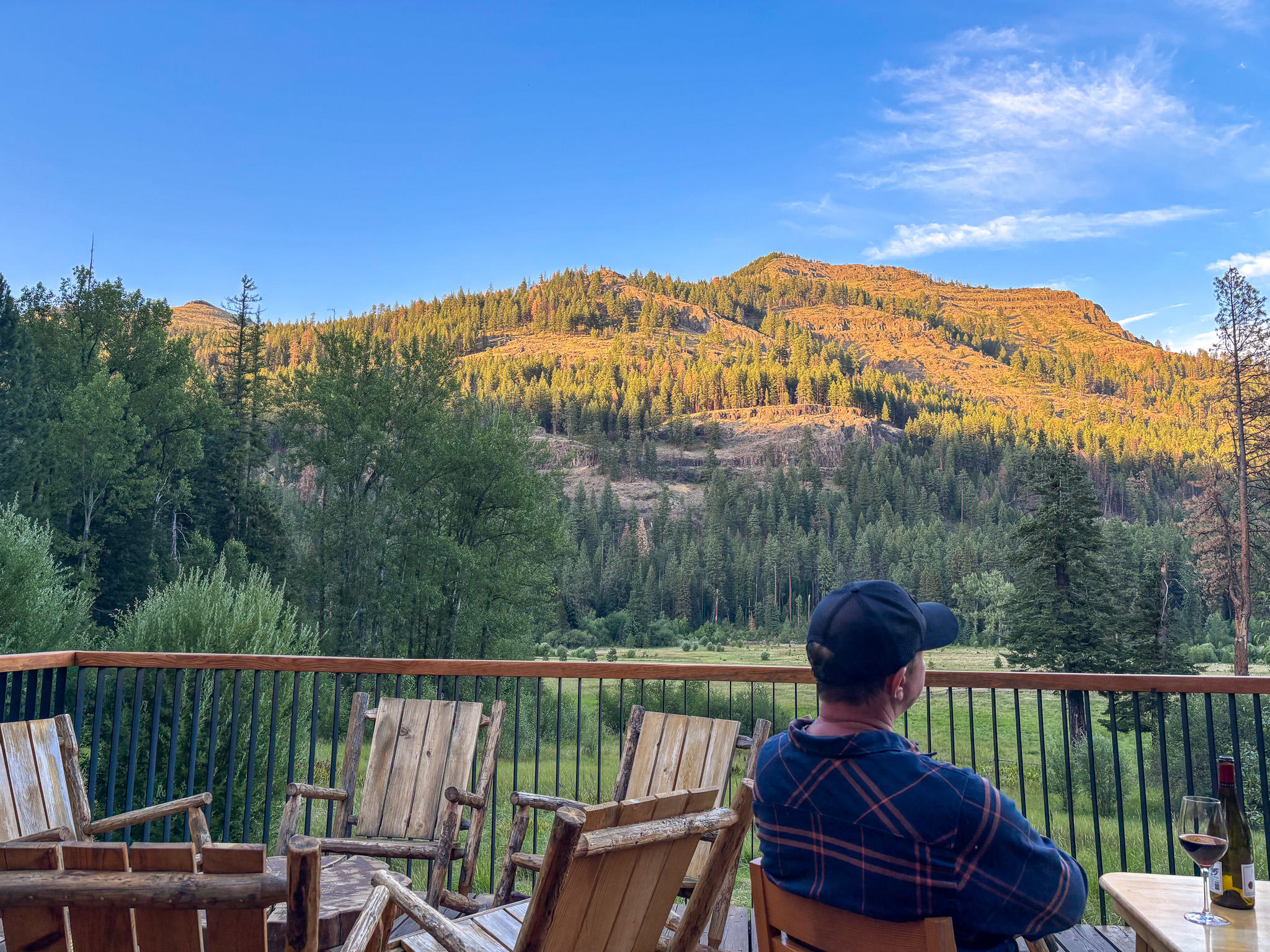
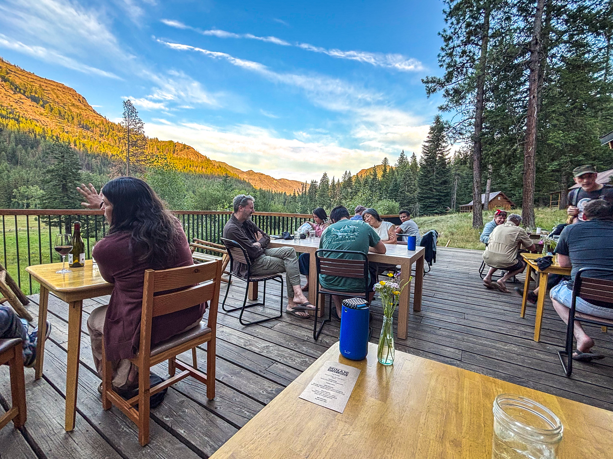
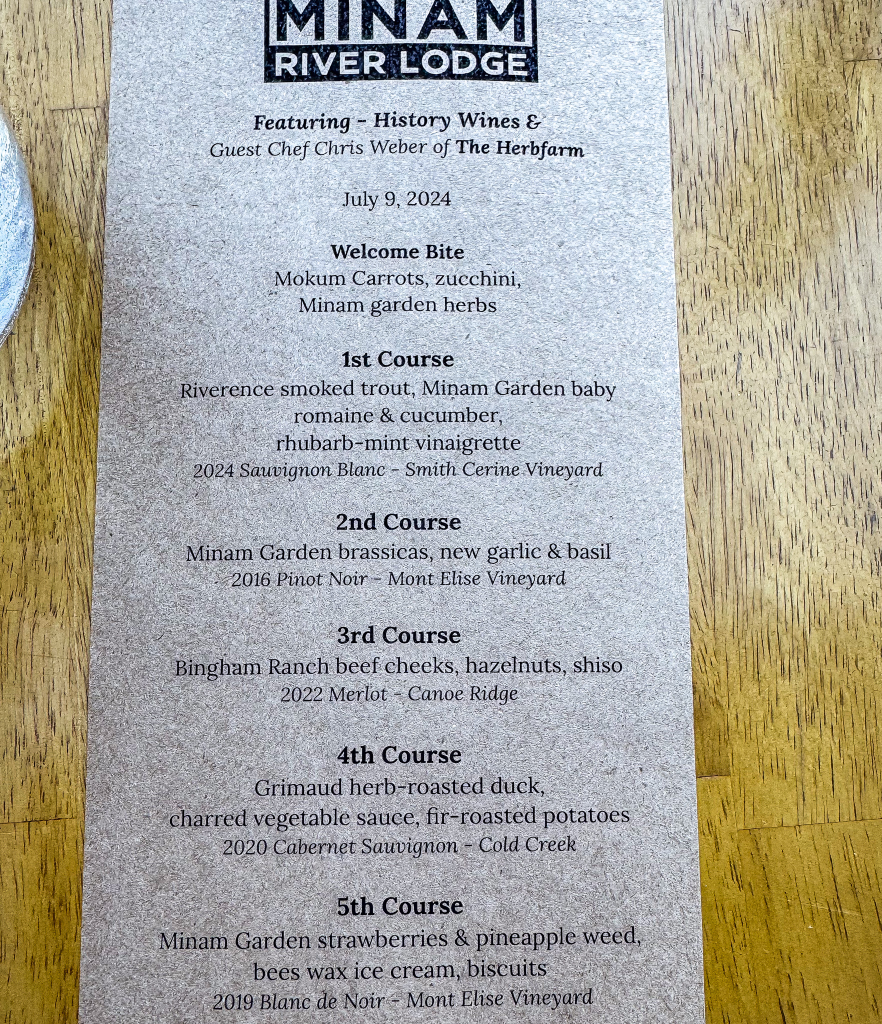
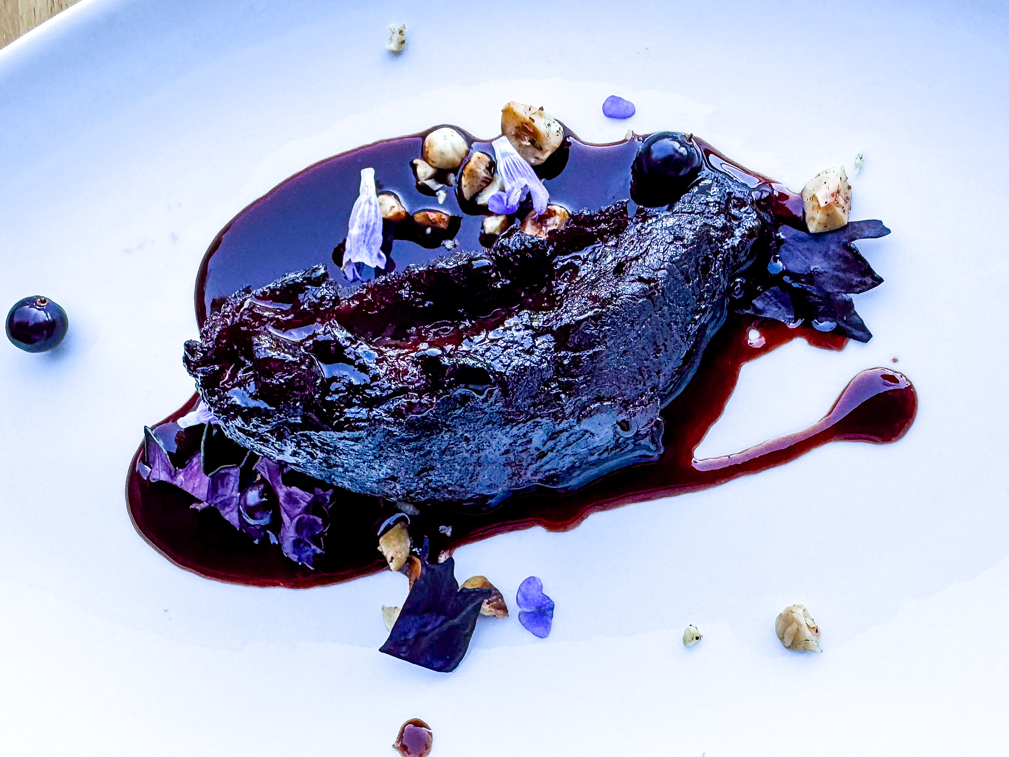
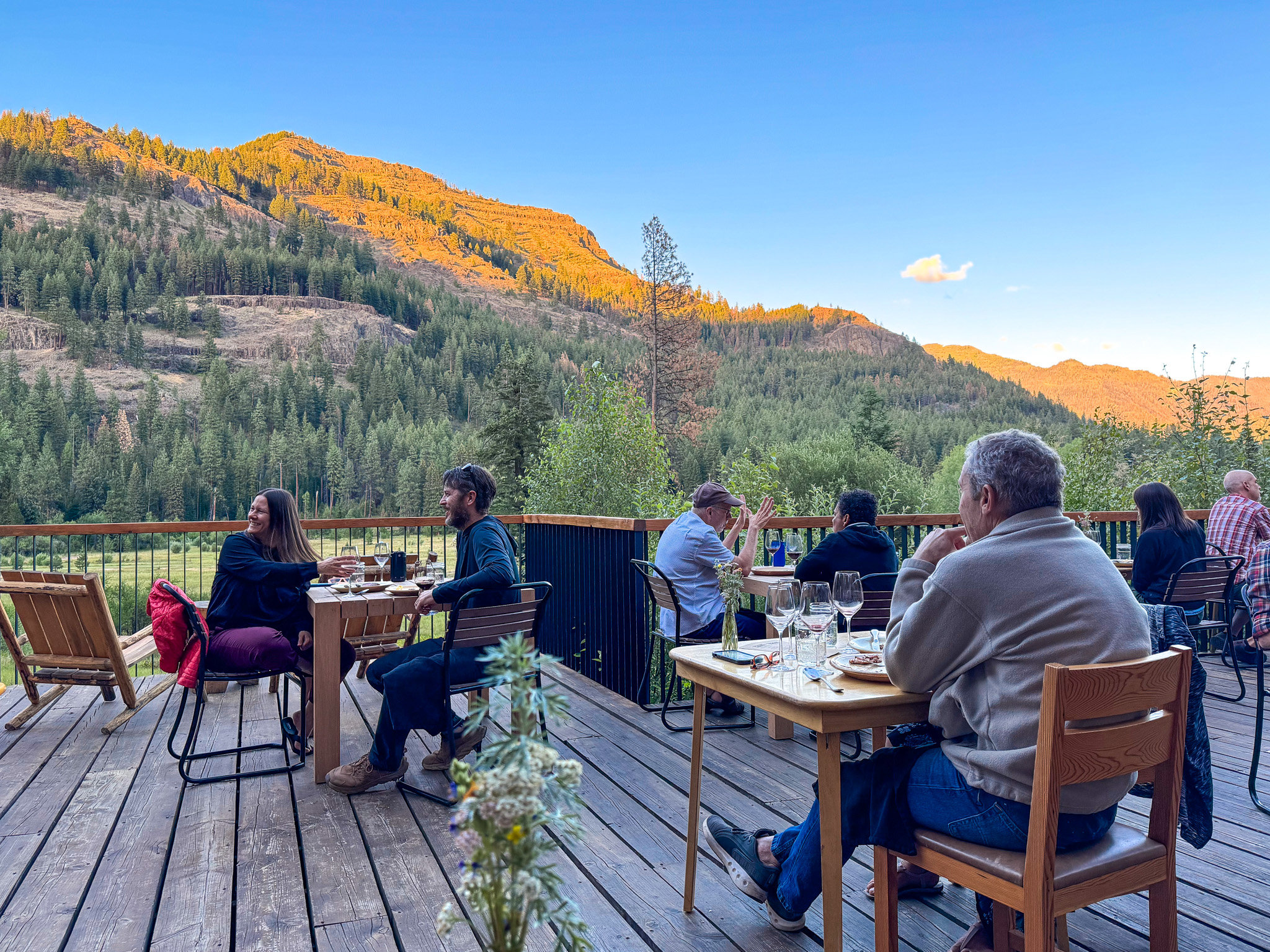
Fantastic dinners on the deck with this view

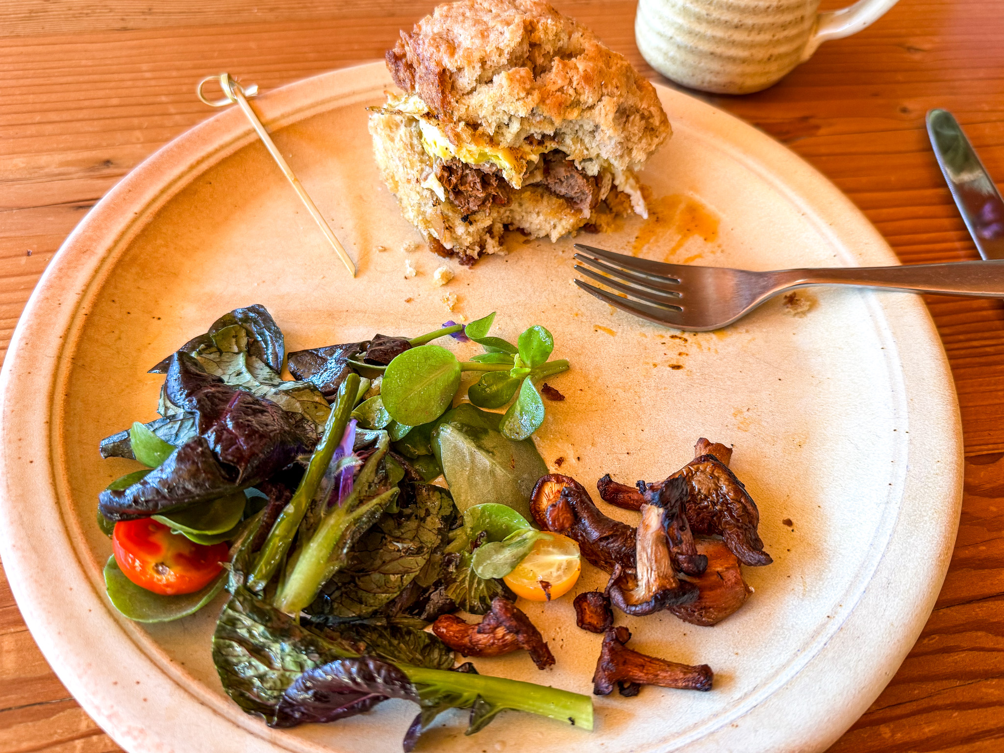
And breakfasts inside with the view
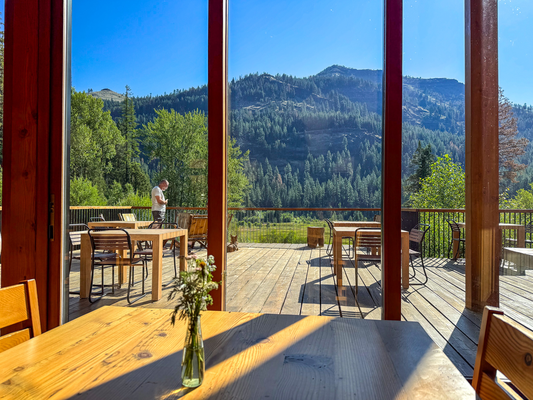
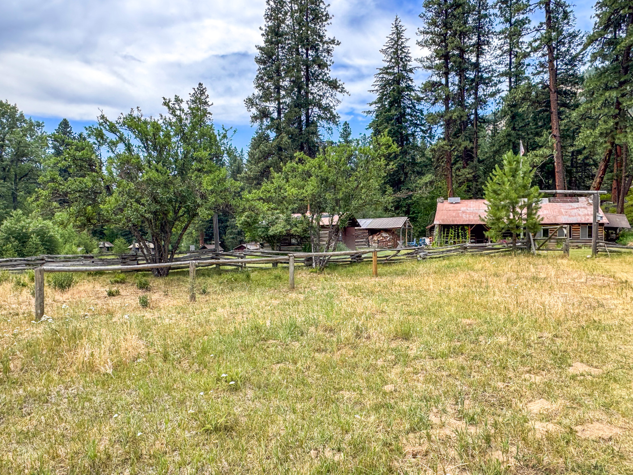
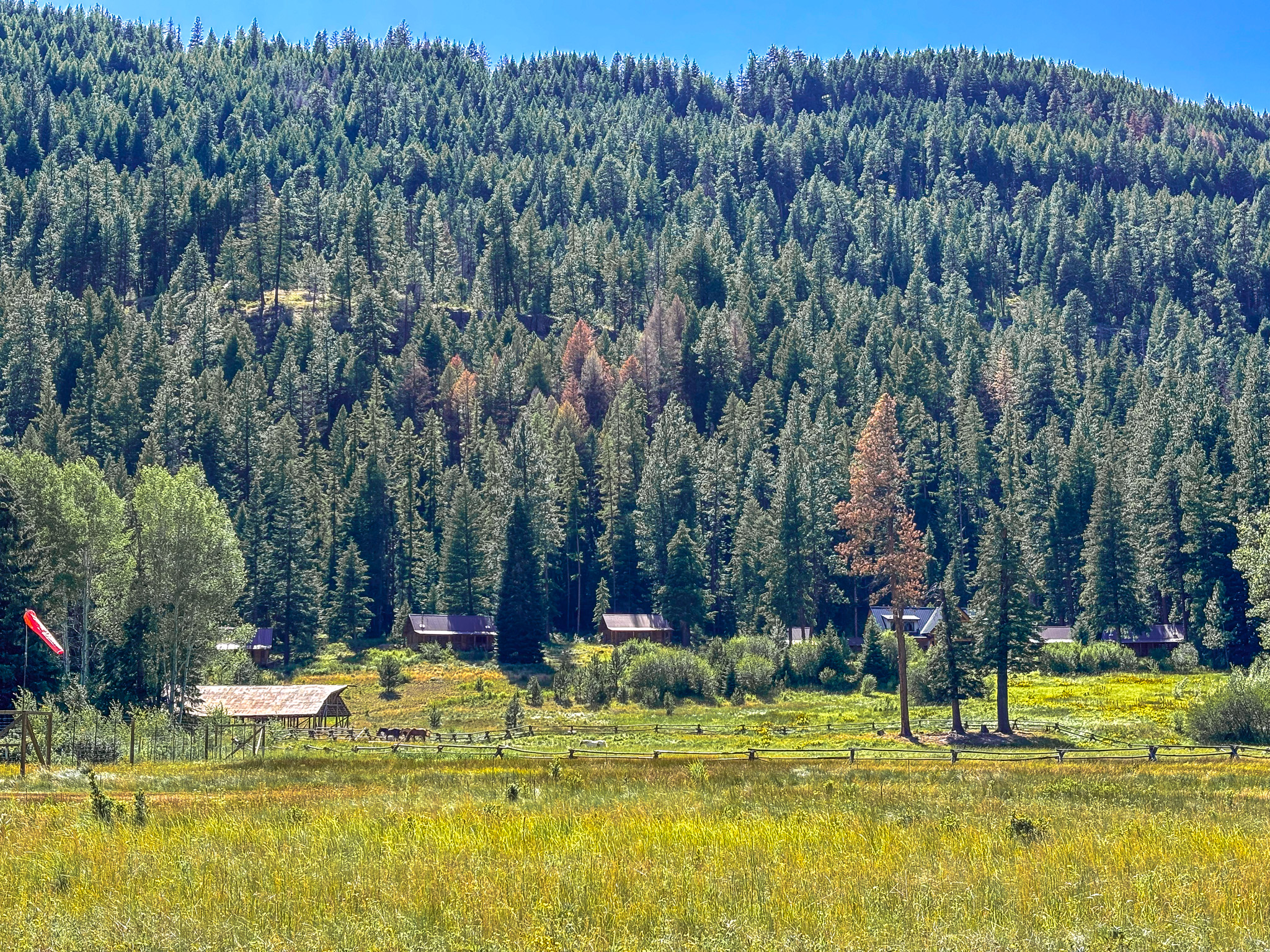
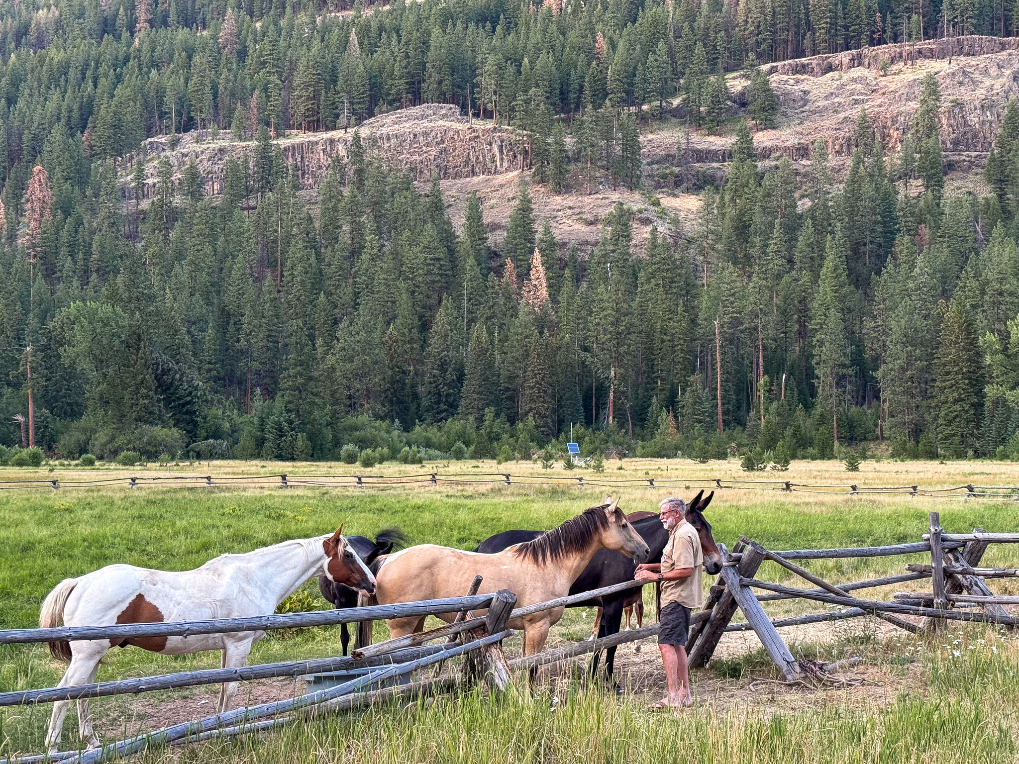
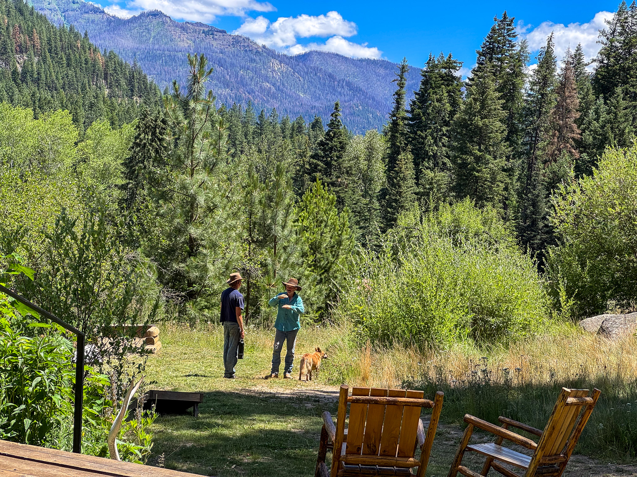
Walking over to Red’s Horse Ranch next door
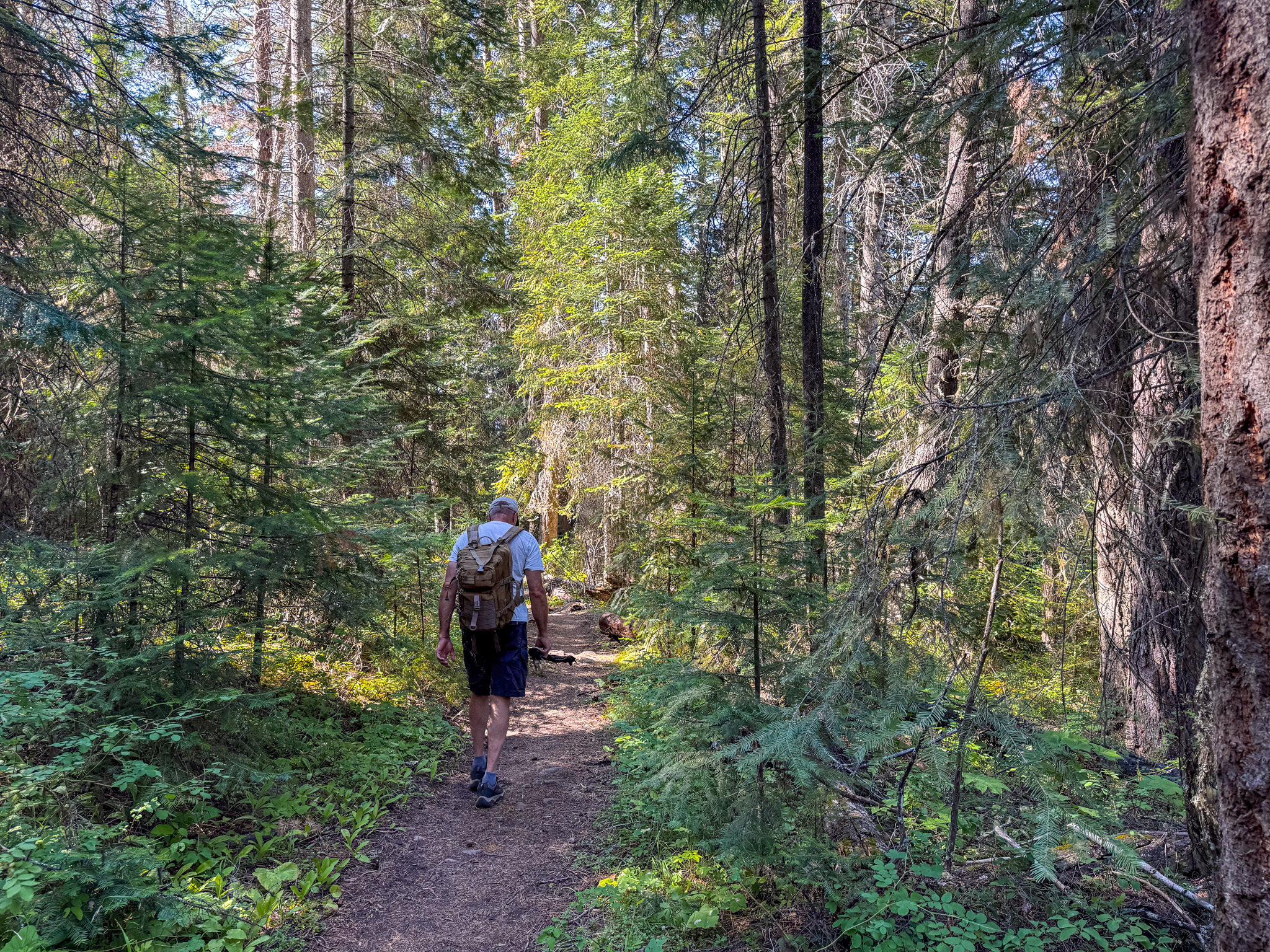
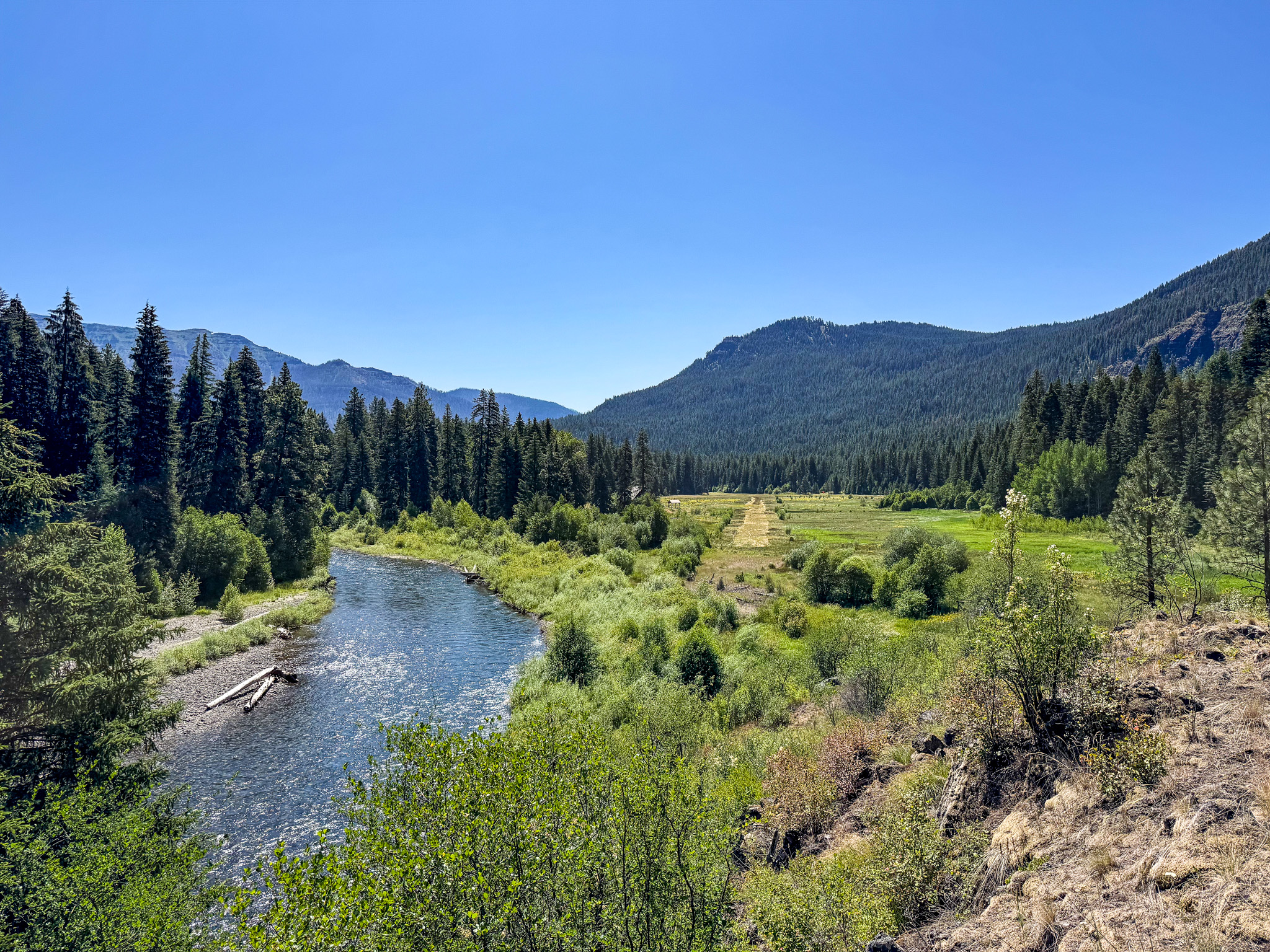
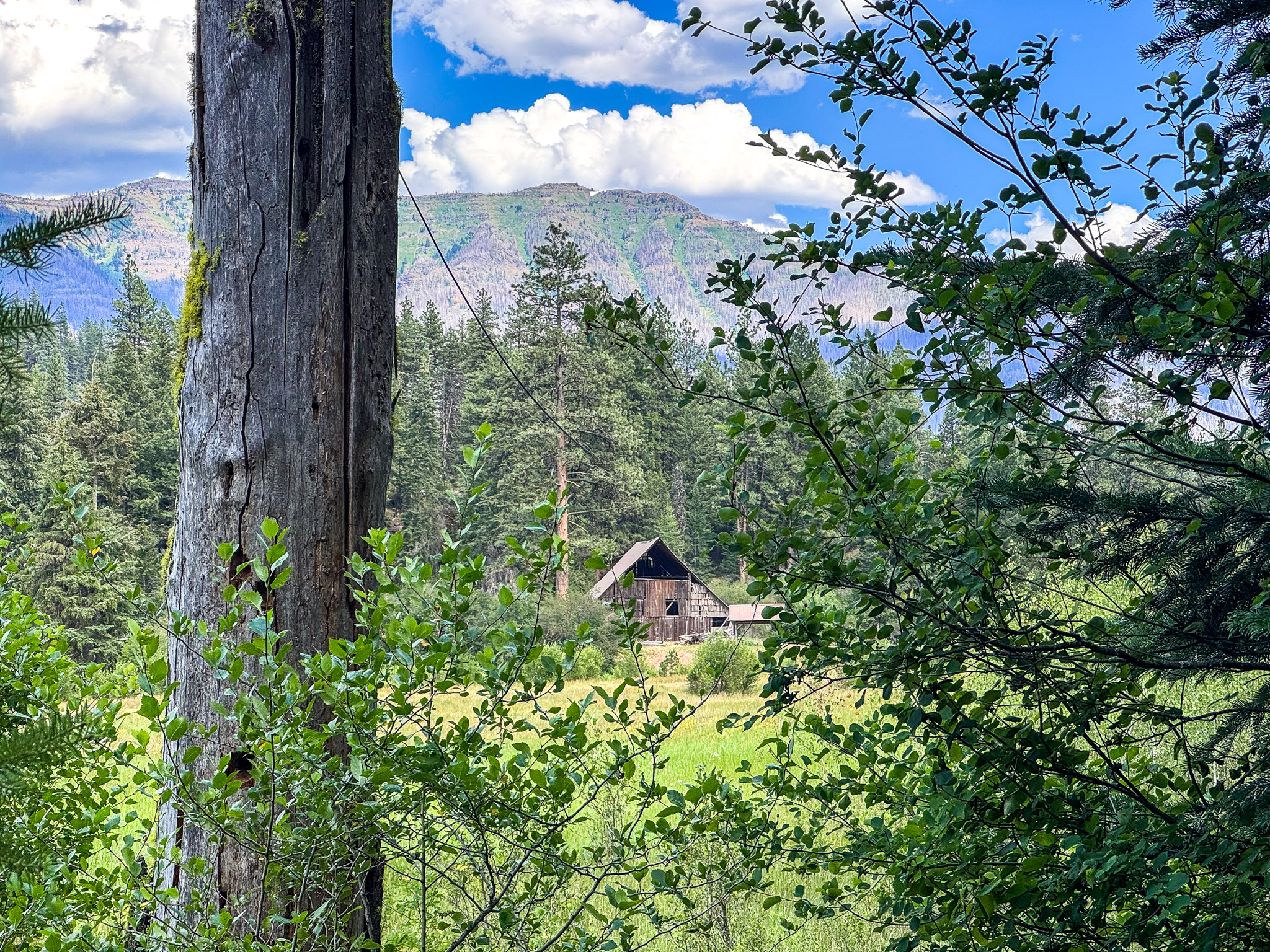
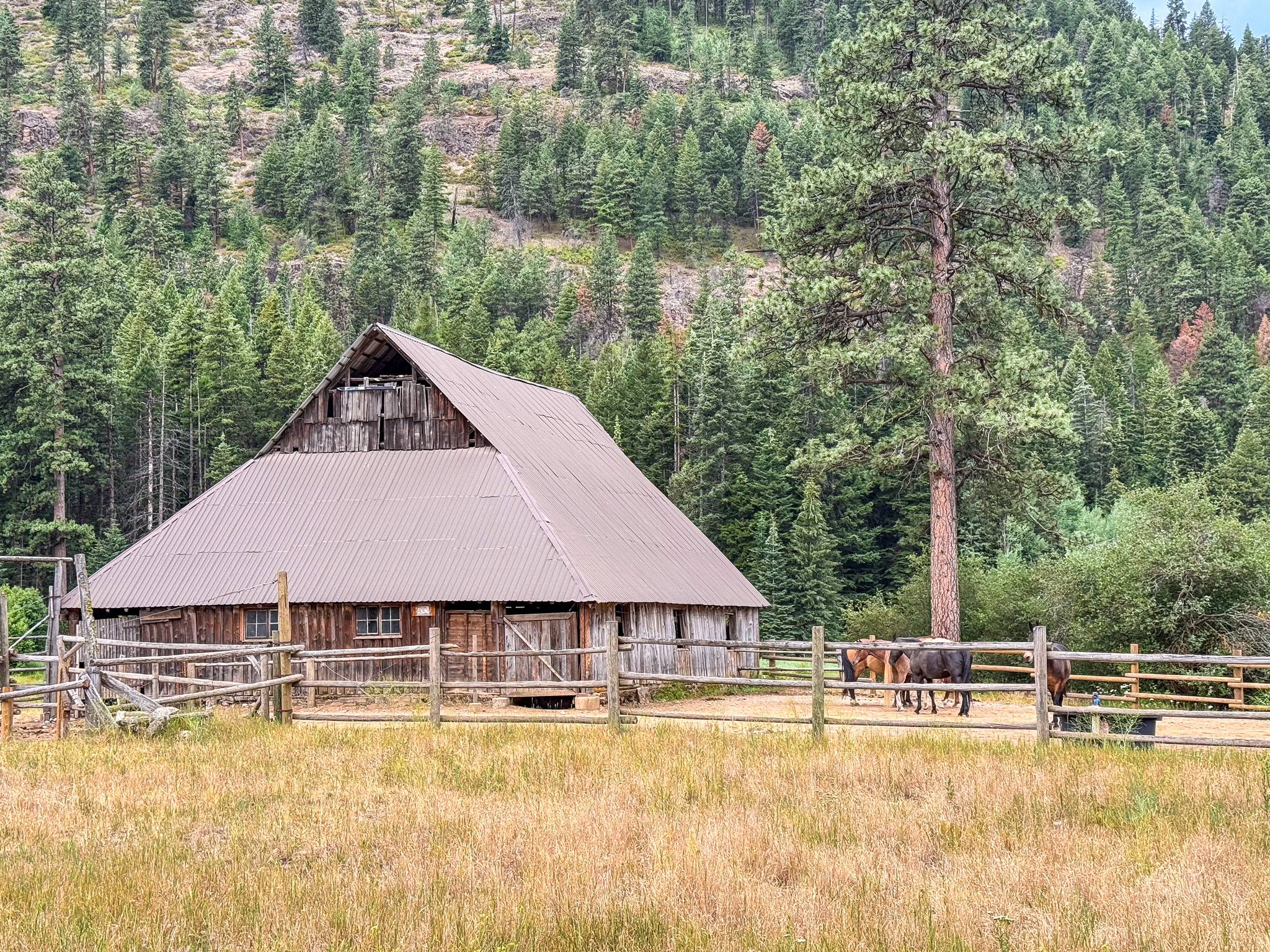
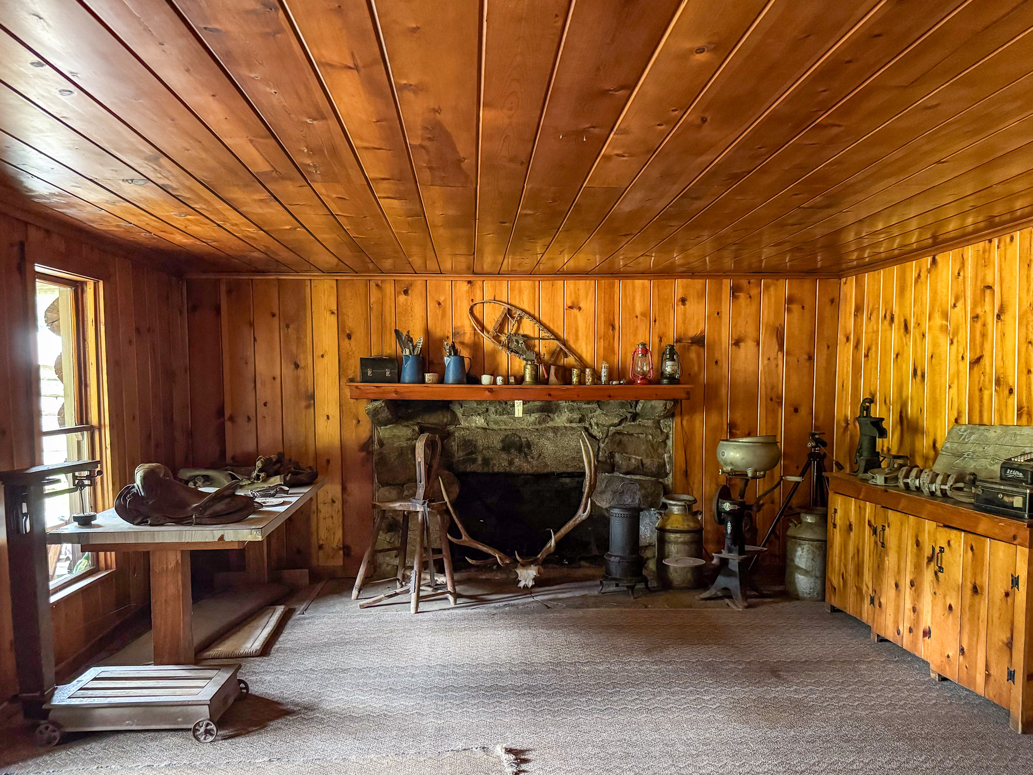
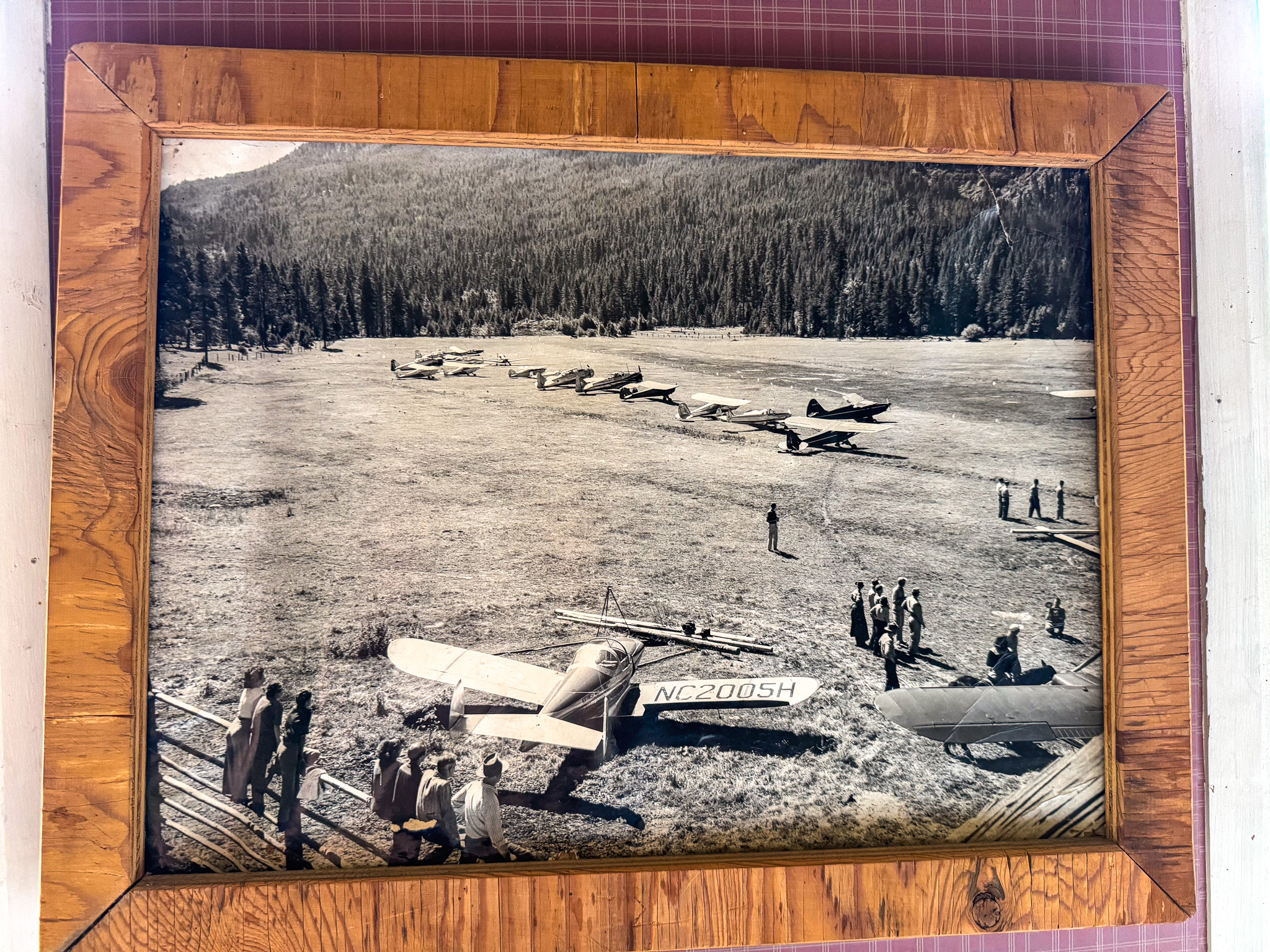
Red’s Horse Ranch is now owned by the US Forest Service. Volunteer caretakers rotate each week to keep watch and do upkeep. The airstrip is mowed yearly.
The “Horse Ranch” was privately owned from 1900 to 1994 and became a dude ranch in 1931. In 1946, “Red” Higgins purchased the Horse Ranch and renamed it Red’s Wallowa Horse Ranch. He operated the dude ranch each summer through fall until his death in 1972.
https://tile.loc.gov/storage-services/master/pnp/habshaer/or/or0400/or0411/data/or0411data.pdf
Reds Horse Ranch USFS Airport, Enterprise, Oregon – 68D
Runway 14/32
Dimensions: 2125 x 20 ft. / 648 x 6 m
700′ ADDITIONAL DOGLEG E END.
Surface: turf
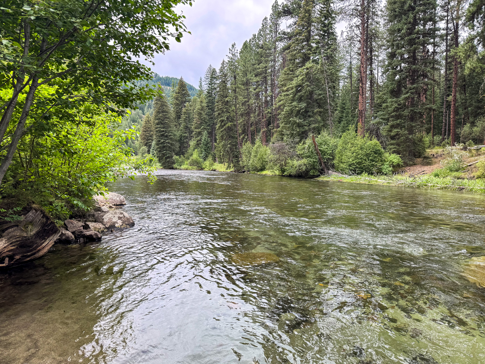
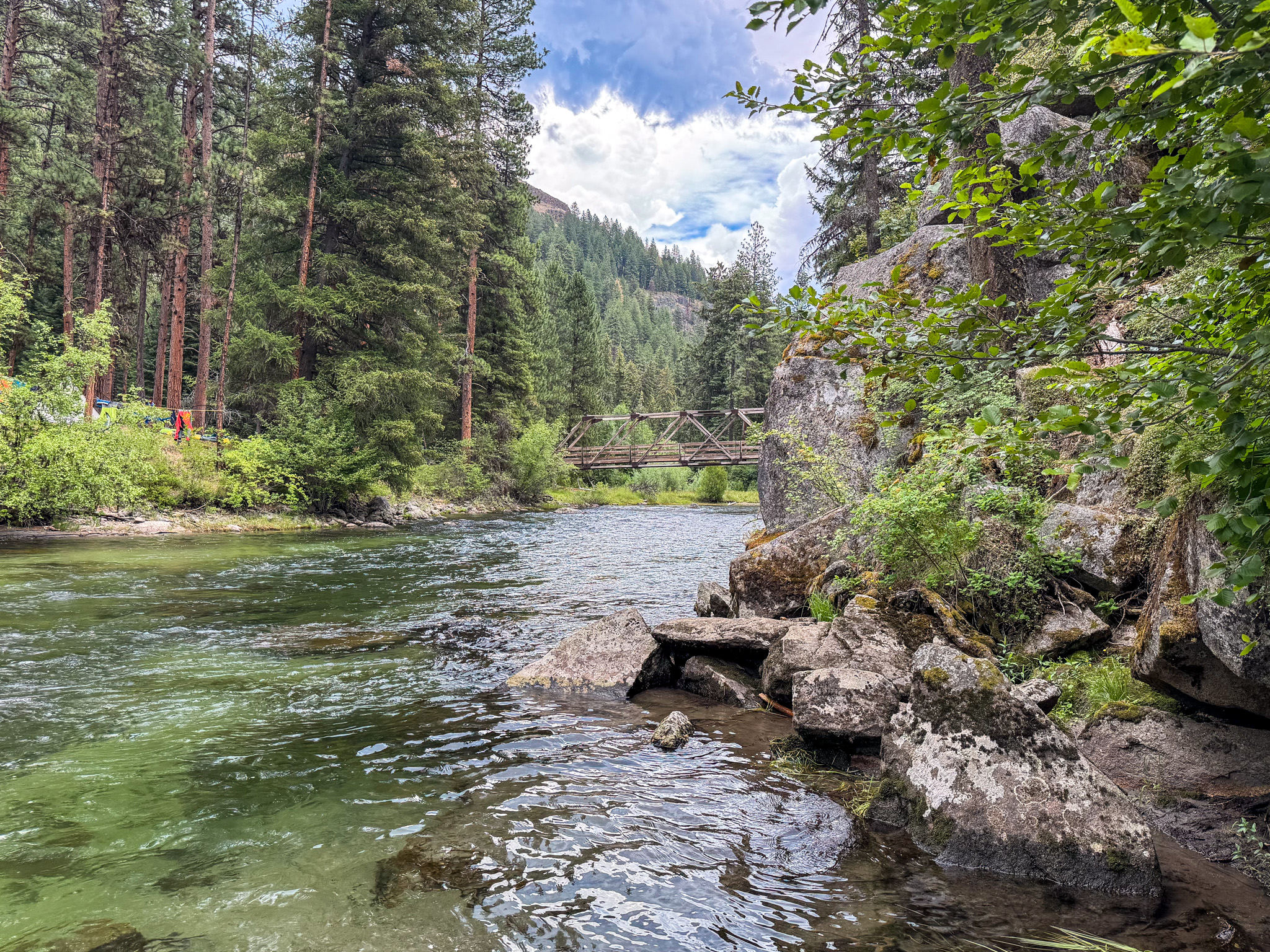

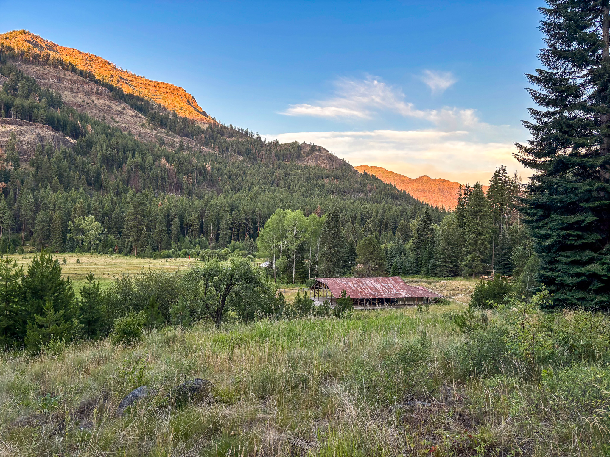
Next day’s hike to Horseshoe bend, past Red’s
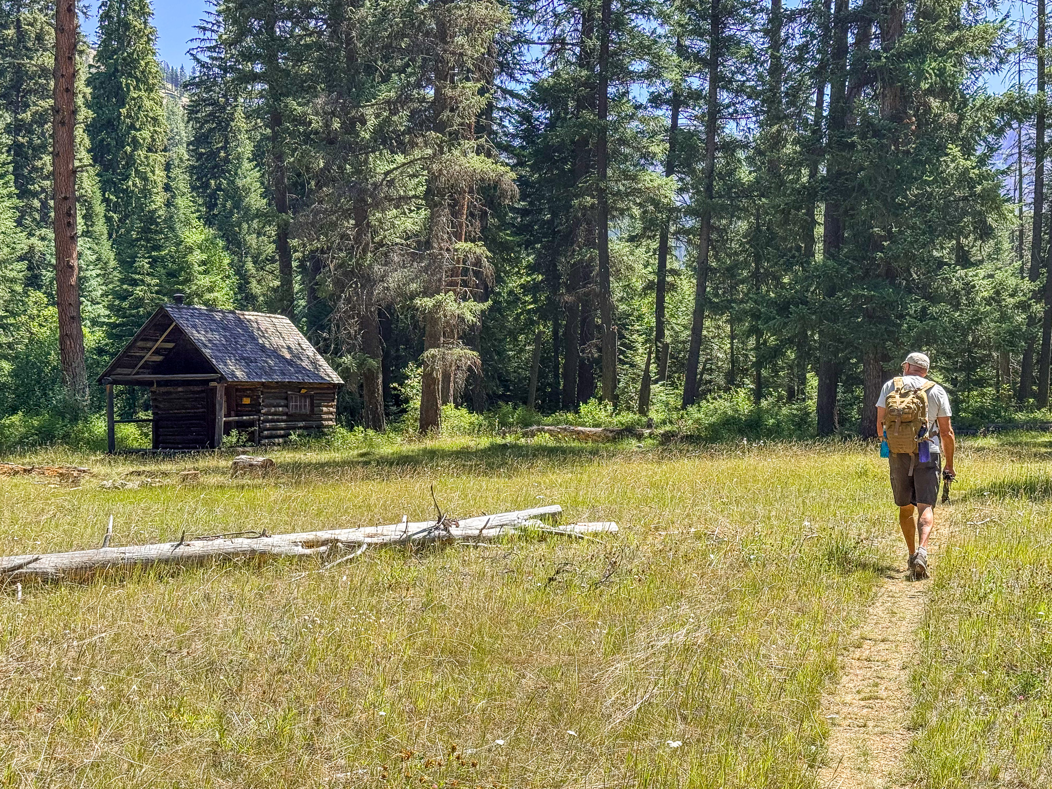
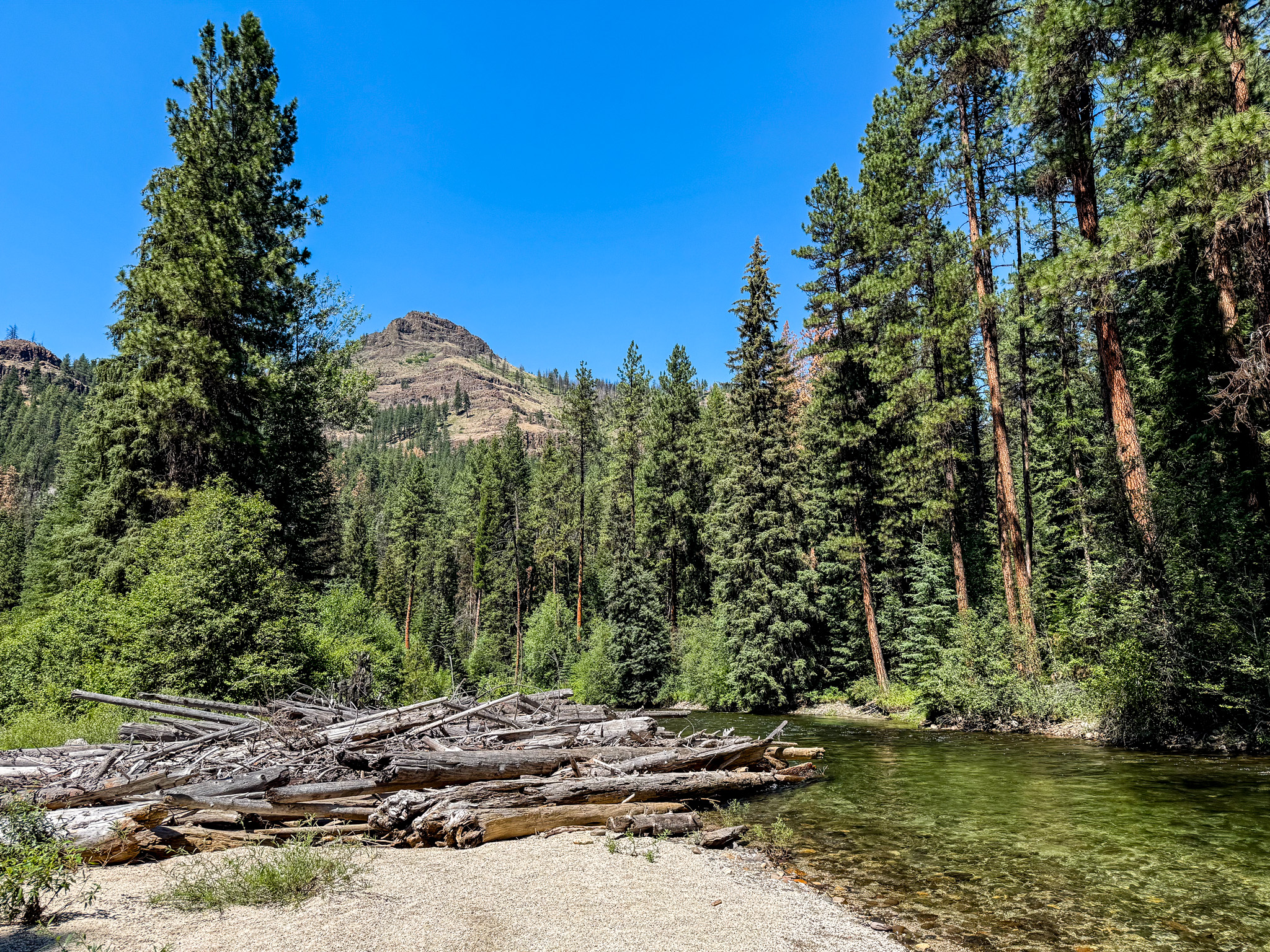
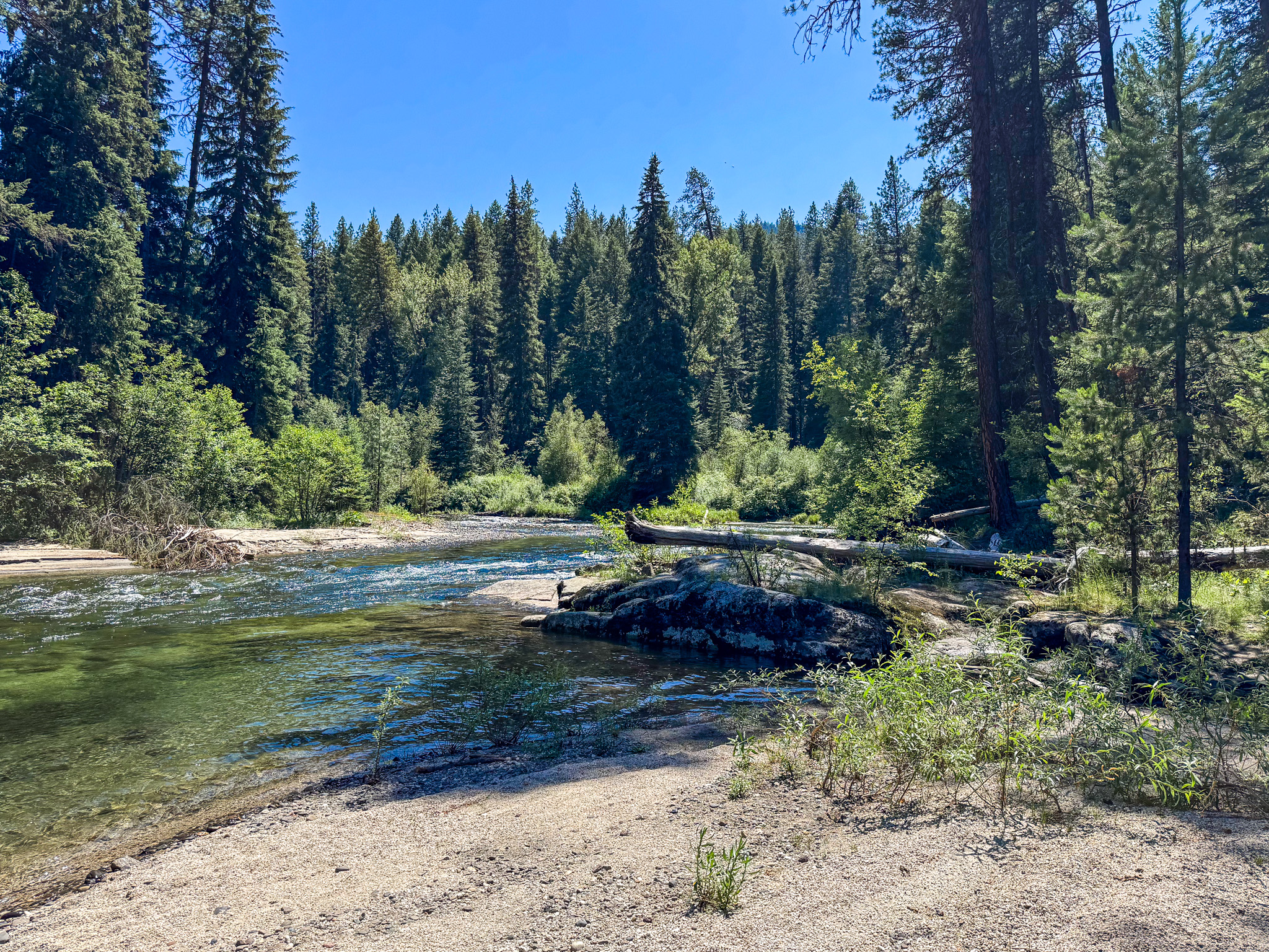
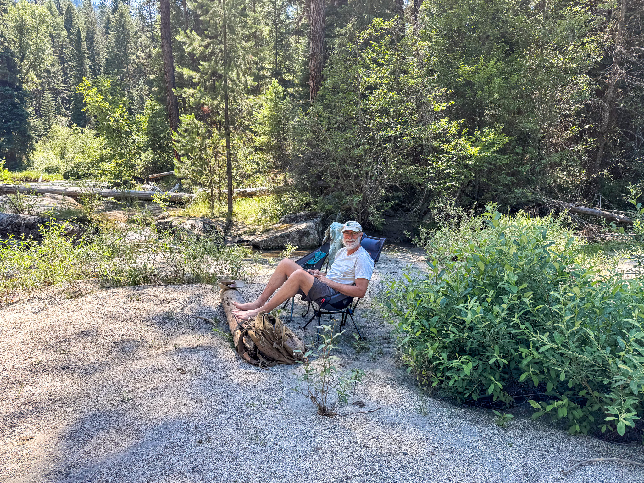
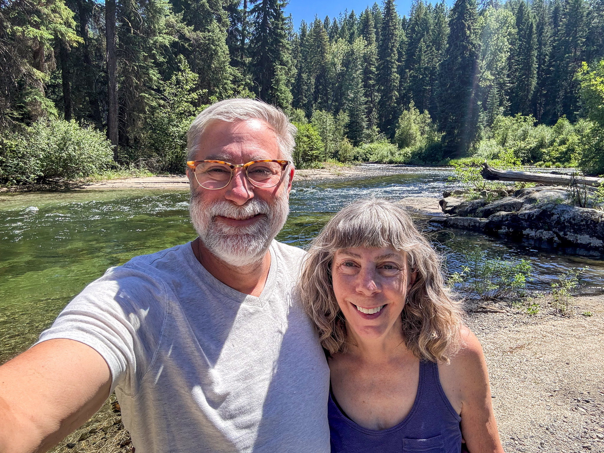
Back at Minam
Fuel stop in La Grande before heading home
La Grande/Union County Airport, La Grande, Oregon – KLGD
Runway 12/30
Dimensions: 6261 x 100 ft. / 1908 x 30 m
Surface: asphalt, in good condition
